The Westfjords of Iceland
in Travel
- 19 June 2015: Breiðafjörður
- 20 June 2015
- 21 June 2015
- 22 June 2015
- 23 June 2015
- 24 June 2015: Staying Put
- 25 June 2015
- 26 June 2015
- 27 June 2015
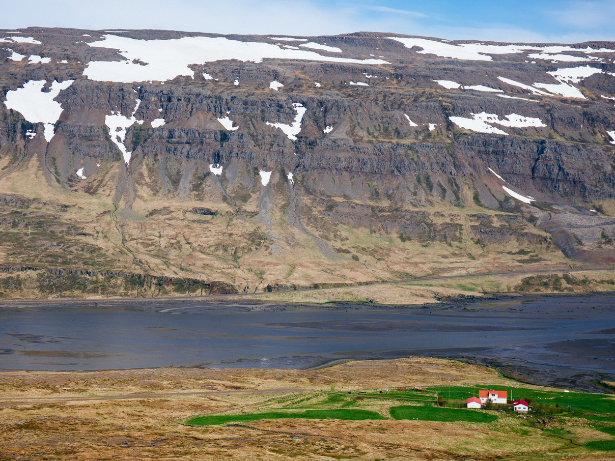
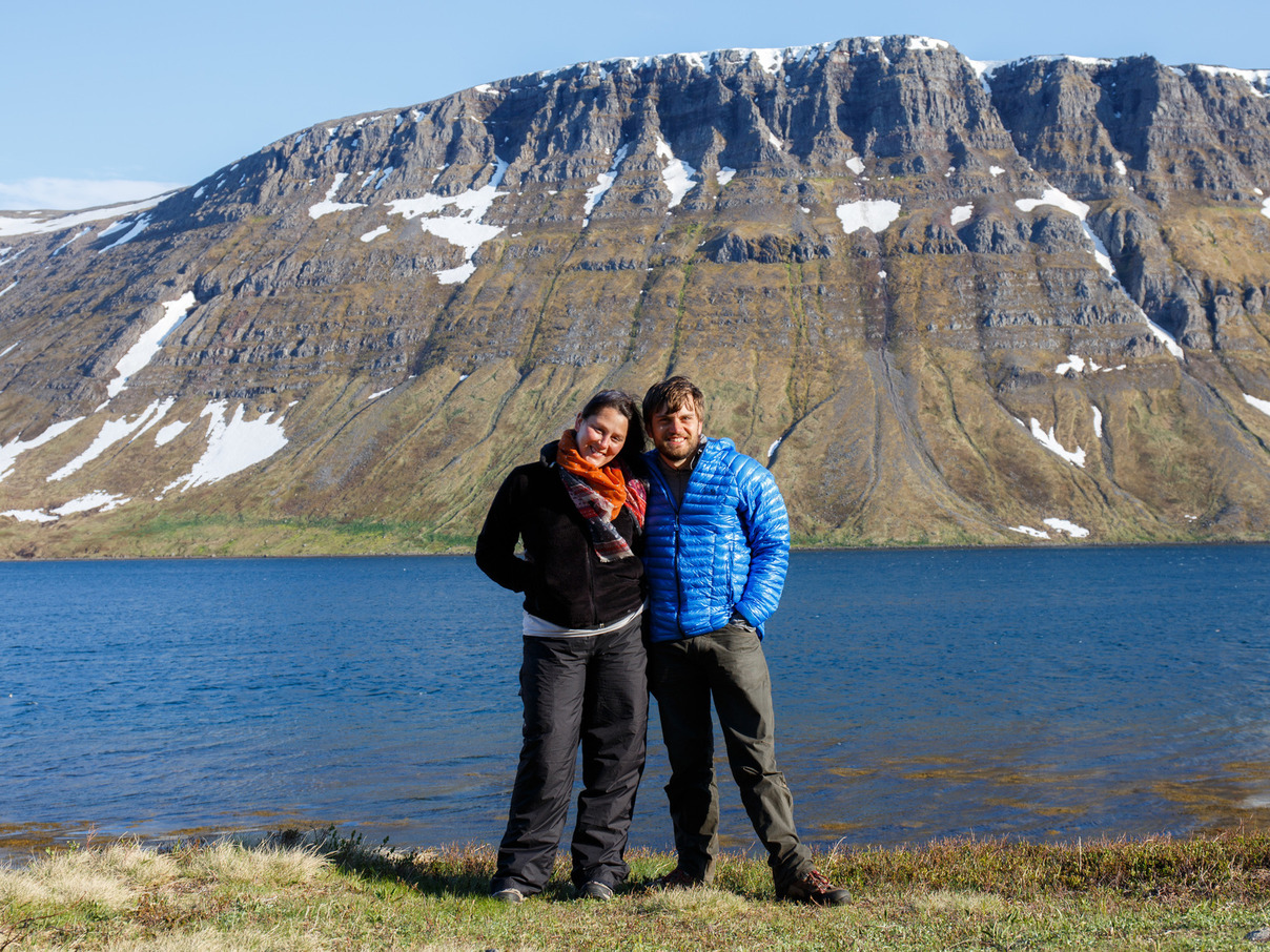
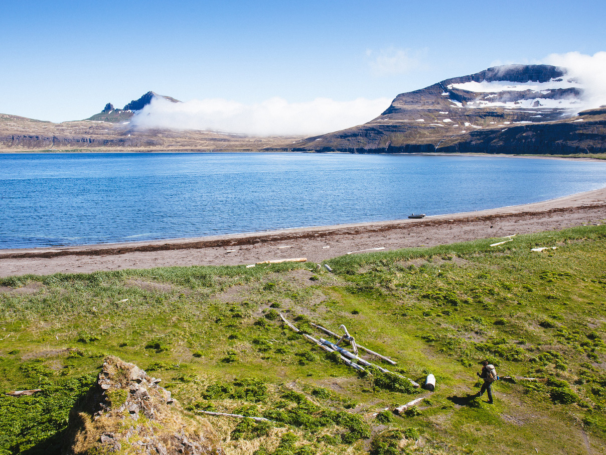
19 June 2015: Breiðafjörður
3:30pm
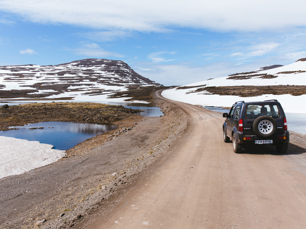
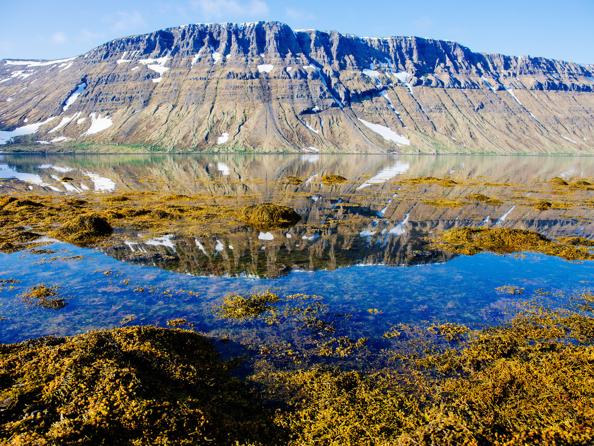
The switchbacks on the mountain roads are so steep that Heather practically has to put her cheek down on the steering wheel to see up the road. We haven’t driven on pavement in hours and have only passed a handful of other vehicles. The roads on top of the mountain passes weave through giant piles of snow and past roaring waterfalls and rivers. This was the rugged Iceland we’d been dreaming of, and then some.
To get to the Westfjords, you have to leave Iceland’s Ring Road, the primary route that takes people around the country. Once you leave, the roads quickly turn to packed gravel and dirt, and the road crosses fjords by either traveling their entire length twice (one on each side) or leaping over the mountain itself via an insanely steep and rugged pass. Few fjords have more than a handful of houses, and petrol stations are few and far between.
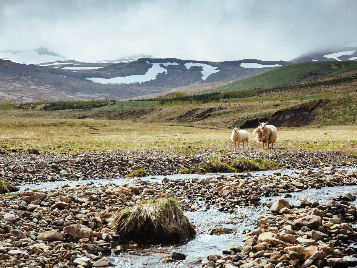
At every turn, the sheep of Iceland are watching.
20 June 2015
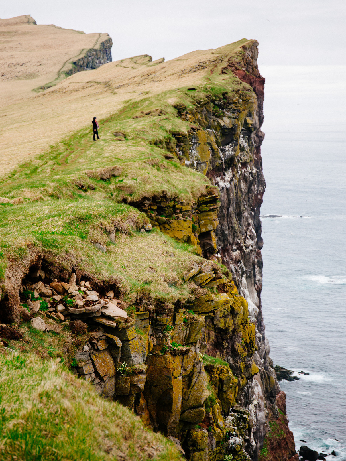
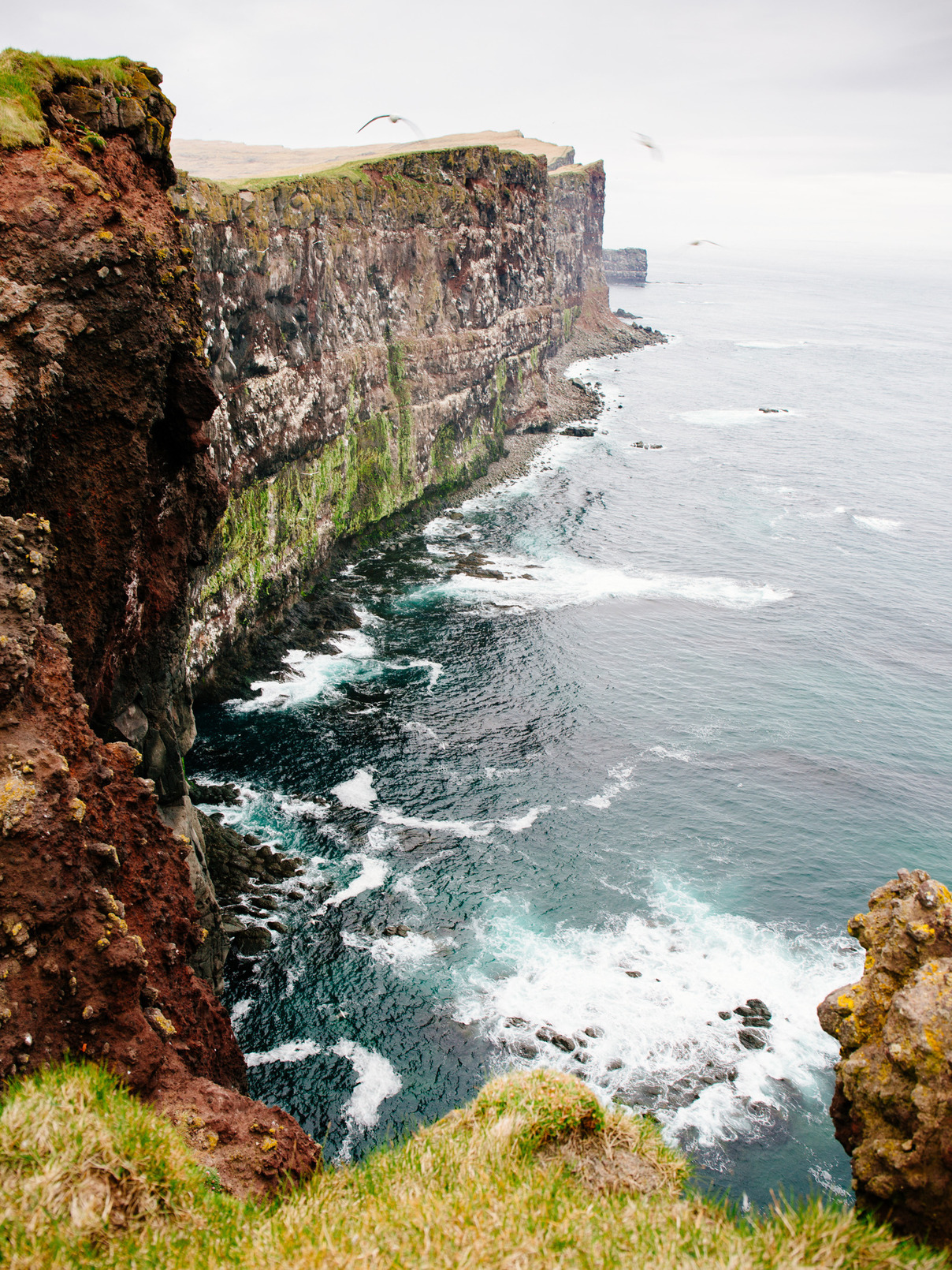
10am: Látrabjarg Bird Cliffs
A hanging glacial valley stands high above the ocean. Its edges rise sharply before ending in sheer cliffs up to 400 meters tall. They look like the world’s boldest bicycle ramps.
Inhabiting the cliffs are thousands and thousands of nesting sea birds in a constant swarm of activity. They hover over the waves by the hundreds, fishing for their next meals. They squawk and chatter in packs on the cliffs.
The peninsula is extremely remote, a tough 1.5-hour drive from our campground over rutted mountain roads, and we pass only a handful of other cars. We arrive early enough to have the area to ourselves for the better part of two hours. The views are stunning and the birdwatching is incredible.
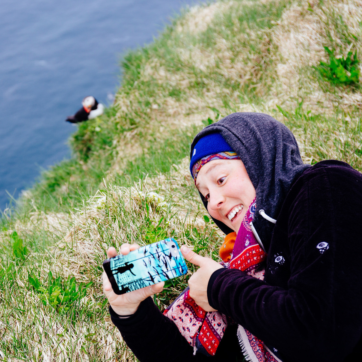
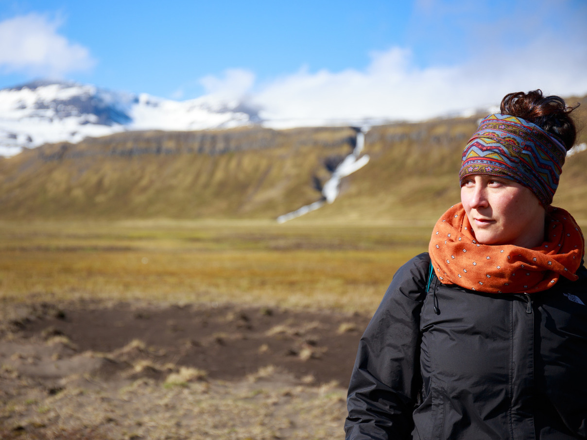
Heather can’t resist a selfie session with a puffin.
4pm: Race to Ísafjörður
Never believe what an Icelander from the Westfjords tells you about travel time.
The next phase of our trip was due to begin in Ísafjörður at 5pm, with a boat ride to the remote Hornstrandir peninsula for a week of wilderness camping. The folks at our campsite told us that Ísafjörður was a 1.5-hour drive. It took us nearly twice that long, at 3 hours.
The roads of the Westfjords are insane. This particular stretch started with a long, steady climb into the mountains, where we passed miles of snowfields and roaring waterfalls, bounced through innumerable potholes, and passed more than a few cargo trucks. A guard-rail-free descent into a fjord followed and the entire process repeated several times.
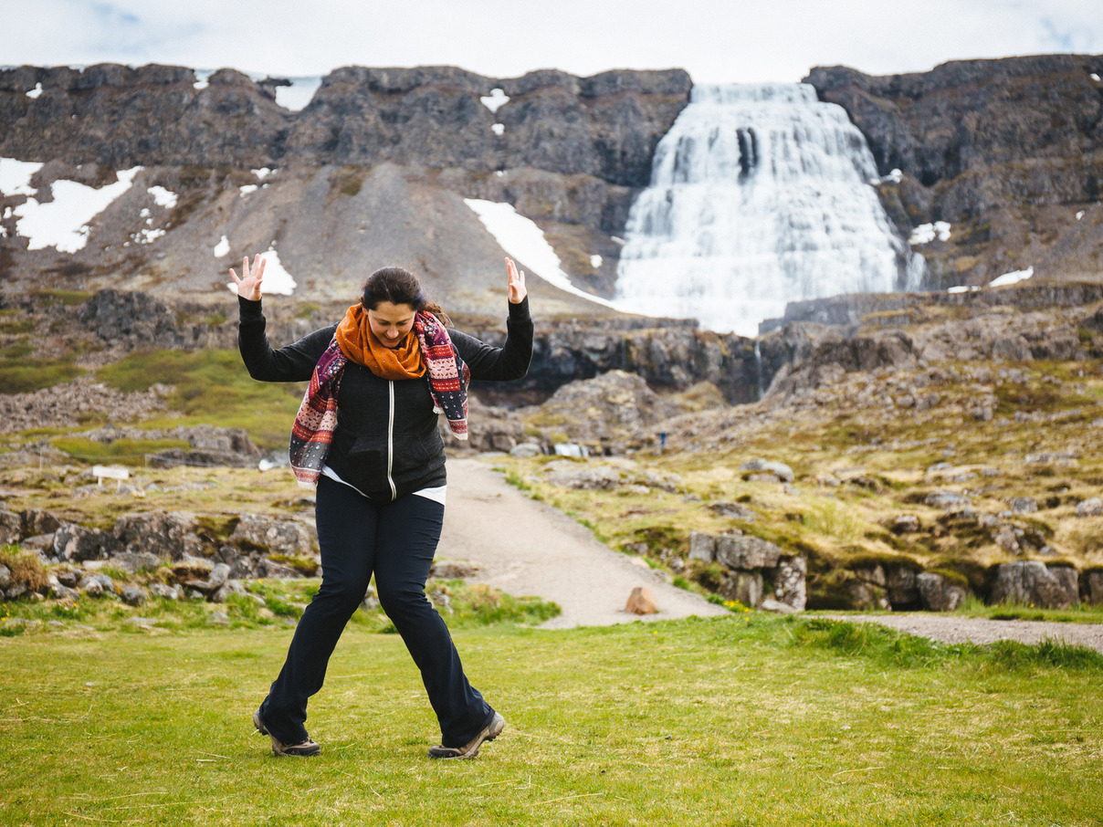
When you need to cover a lot of ground, you sometimes have to skip things along the way. We regrettably didn’t get much time with the massive waterfall Dynjandi, but we stopped long enough to dance for it, and could see it clearly for the following half-hour of driving.
Seriously, people standing near the foot of the falls looked like ants standing under a shower.
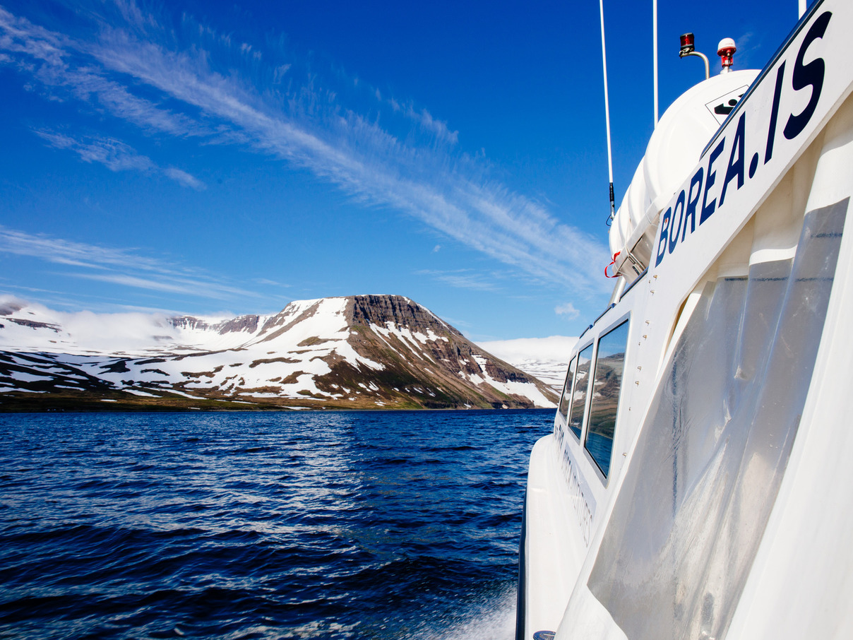
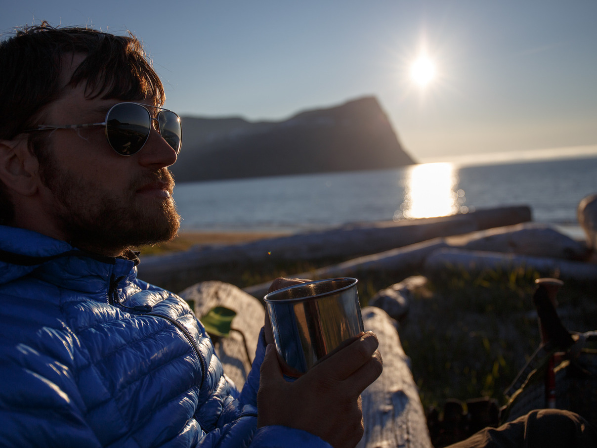
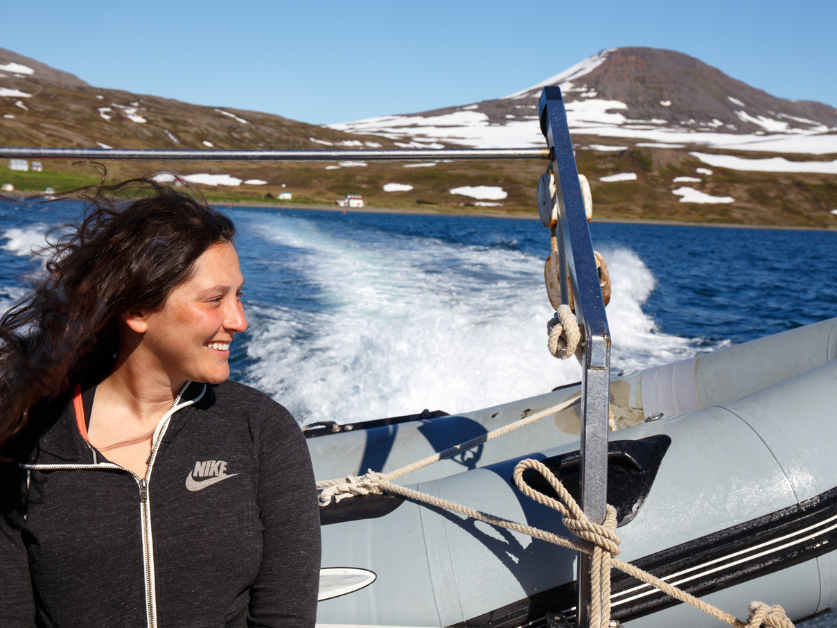
8pm: Sailing into the Wild
Veiðileysufjörður
“Where are you planning to go?” our Austrian shipmate asked us once we were ashore in Veiðileysufjörður, 4 lone humans on a remote fjord in the middle of nowhere.
“To Hornvik tomorrow for a couple nights, then to Hlöðuvík…”
“No, you cannot cross there,” she interjected. “It’s impassible with ice and snow. Did you talk with the information office in Ísafjörður?”
The ferry boat sailed into the distance.
Crap.
We had barely arrived in Ísafjörður in time to catch the 5pm ferry at all, much less visit the information office. Now we wondered if we’d gotten ourselves in over our heads. The mountains were already taller and more snow-covered than we’d expected. Now this news.
After sharing the alternate route they had planned, which included two extra mountain crossings (one of which hadn’t been crossed yet this year), our Austrian friends marched off to Hafnarskarð Pass, which was not just completely covered in clouds, but actually had clouds billowing down its slopes.
So they think they’ll be okay with their new plan, but they’re from AUSTRIA. Austria is all MOUNTAINS.
We set up our campsite, start making dinner, and try to enjoy the view. And begin working on a strategy.
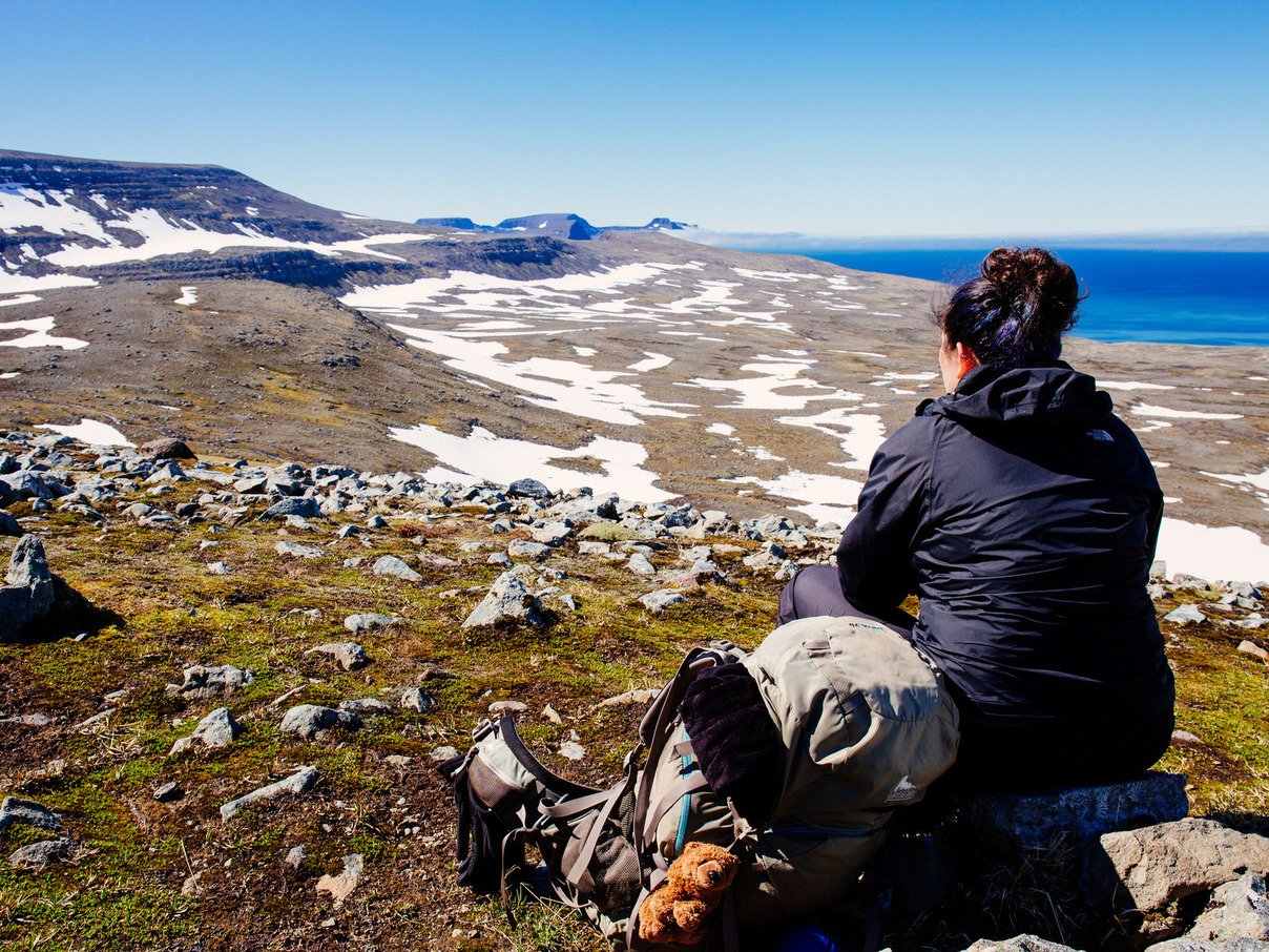
21 June 2015
8:30am Lessons from the Swiss
Veiðileysufjörður
Things said by the Swiss man who hiked into our fjord late last night:
“I passed your Austrian friends. They want me to tell you that the way from Hornvik to Hlöðuvik is open. We crossed three days ago.”
“The pass is a bit tricky, because you will not cross in the usual place. Do you have a GPS? I can give you the coordinates.”
“You must find this ridge here, then slowly walk down until you can see the path below, across the snowfield. You won’t be able to see it from the top.”
“Your map doesn’t look the same as mine.”
“You must be careful when you come over the snow, because if you’re too far north, then you come out over the cliff.”
“Are you sure that your GPS doesn’t support coordinates in Decimal Minutes?”
“Some of the snow bridges over the rivers are getting unstable. It would really be a shame to fall in.”
“Do you have binoculars?”
“No?”
“Really good eyesight?”
So it sounds like the pass is open, but that’s according to a man from Switzerland. Switzerland is all mountains.
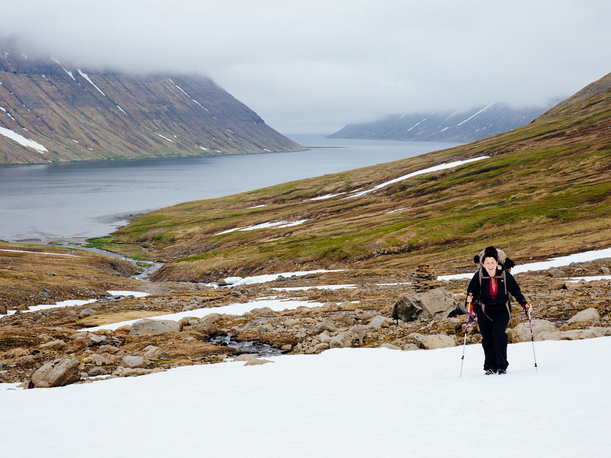
We’ll find out in about 3 days time when we get to that mountain pass. Until then, we’ll have plenty of time to worry about it. Today we tackle our first mountain pass: Hafnarskarð.
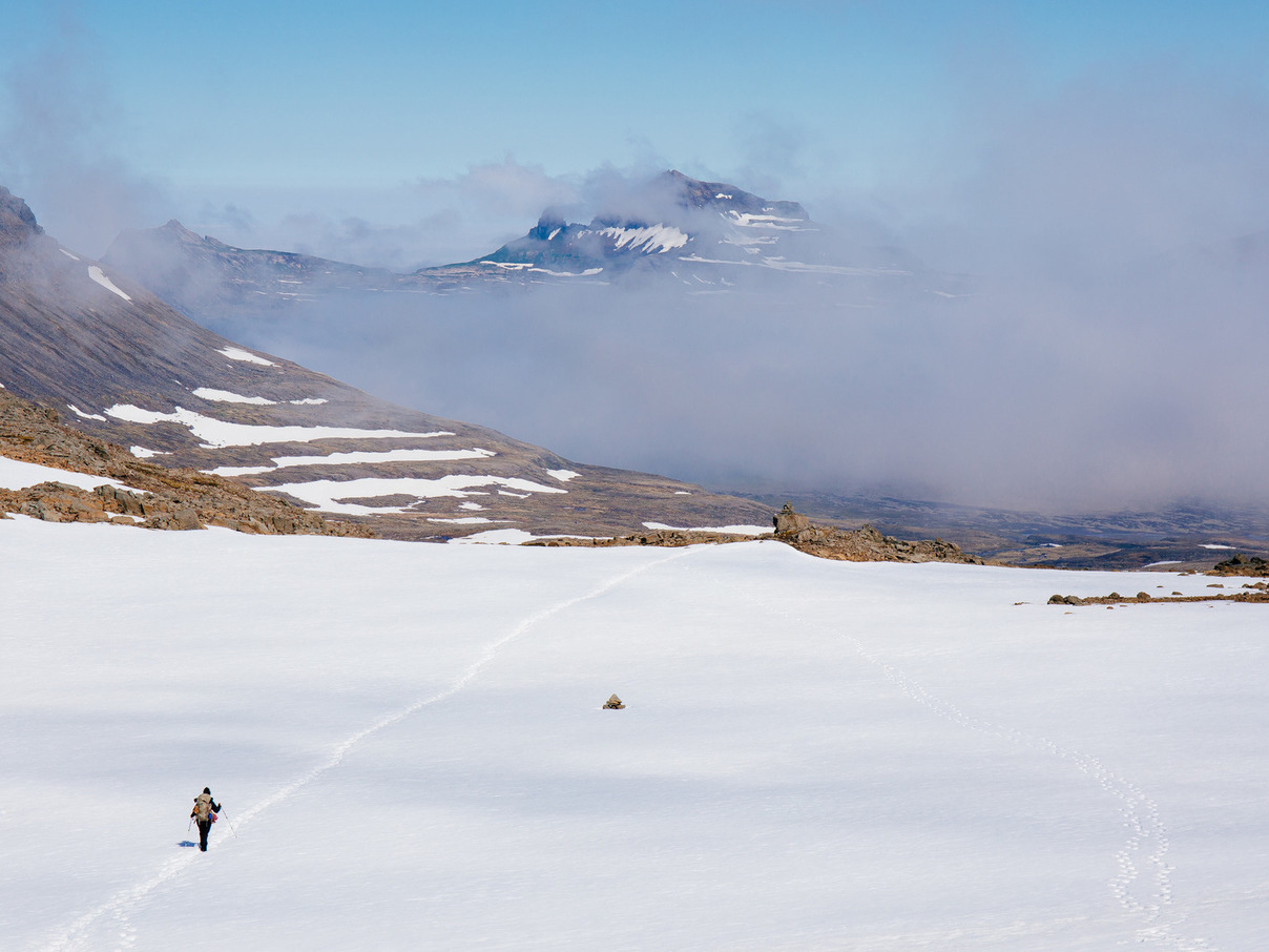
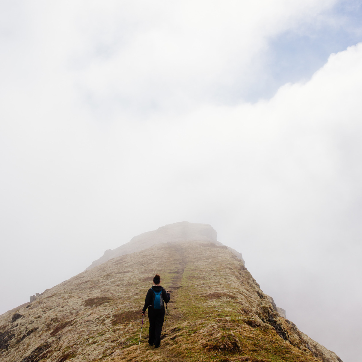
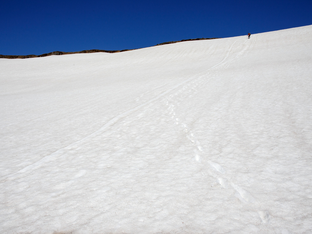
12:00pm First Pass: Hafnarskarð
Hafnarskarð
The fog is so thick, and the snow fields so long, that by the time we reach the top of the pass the only things that can be seen are your partner and a set of footprints leading uphill into oblivion.
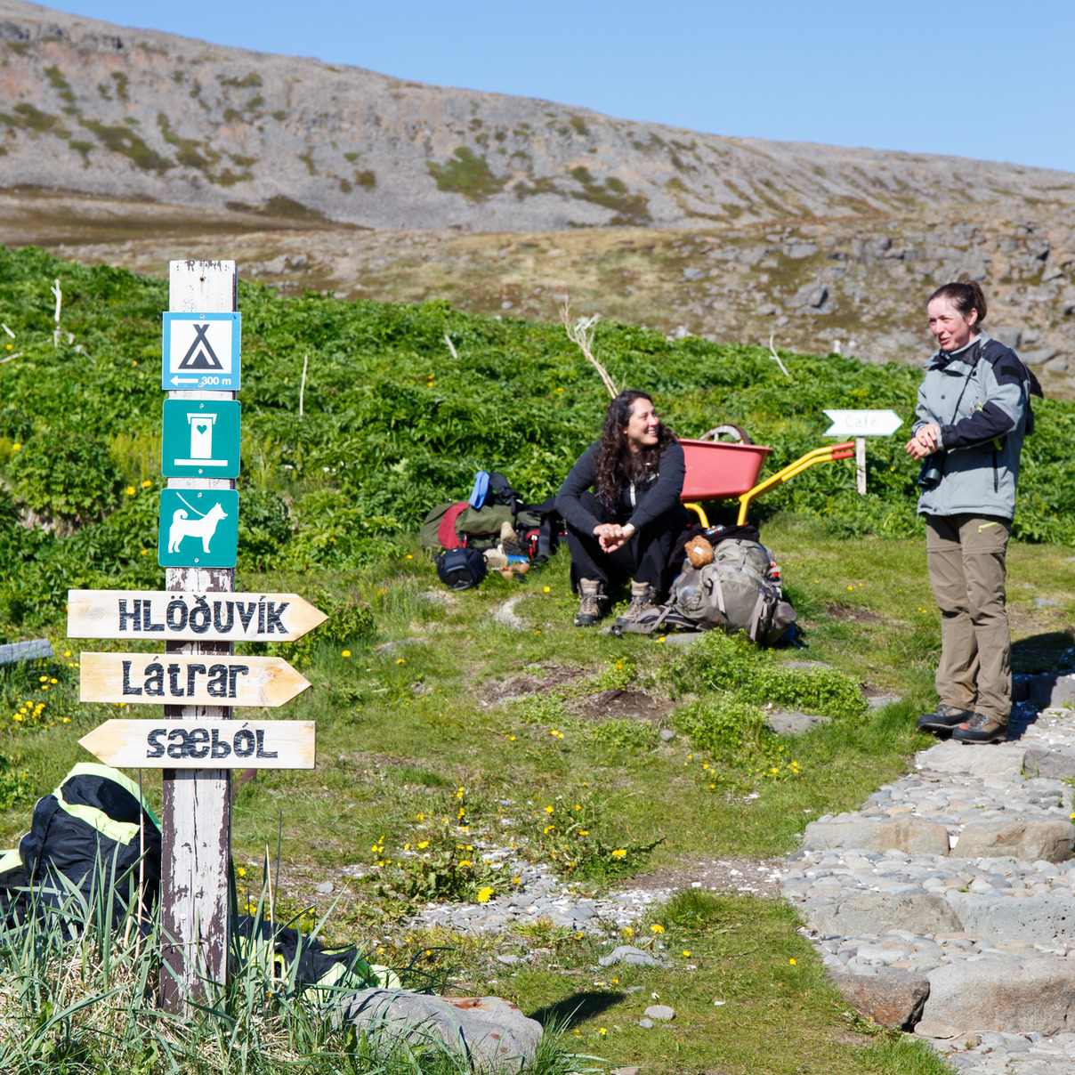
Hornstrandir consists of several fjords, each unique. Traveling from one to another means traversing the mountains in between. Our itinerary includes visits to 5 of them.
As we begin our first mountain crossing, we see that the slopes are covered by clouds, just as they were yesterday. The trail is marked by cairns (tall stacks of rocks) that guide the way at intervals of about 100 meters. The first few miles are clear, and we can see pretty well back into Veiðileysufjörður, even though we can’t see the upper parts of the slope we’re climbing. Some small snowfields bridge streams, and we cross them cautiously.
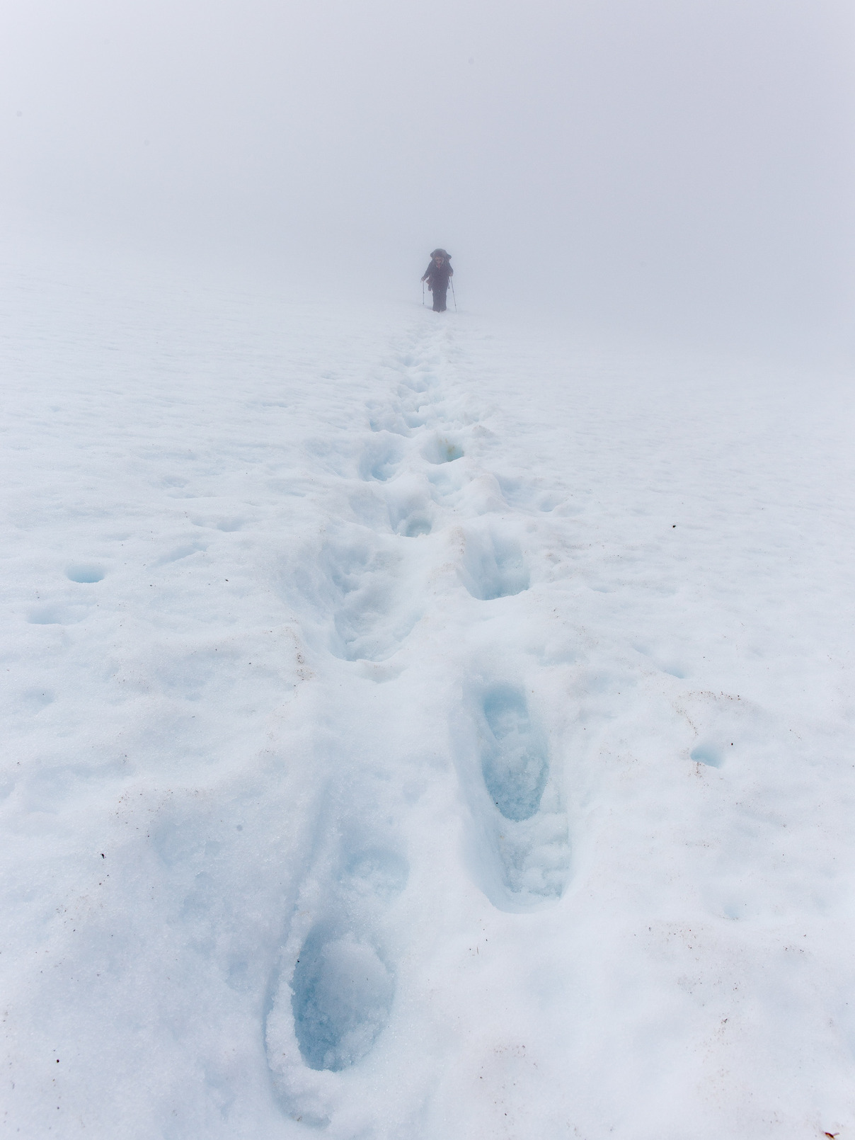
Several hours in, we begin to lose visibility as we enter the clouds. The snowfields grow in size, until we feel as if we’re walking from rocky island to rocky island across ever-extending patches of snow.
Before long, the fog is so thick that we cannot see the next islands at all. In some areas, only the footprints of our Swiss and Austrian friends are visible to guide us.
No sky, no ground, no rocks, no markers, no other people.
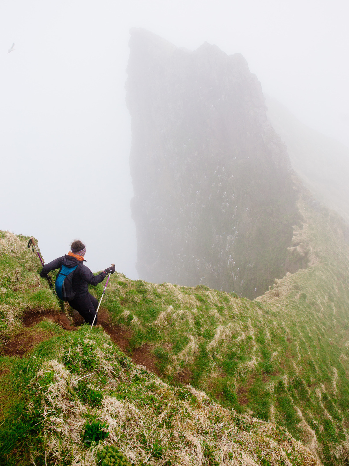
5:00pm Topping Out and Heading Down
Hafnarskarð
The top of the pass comes as a relief. The final snowfield took over 30 minutes to traverse, most of it at a sharp uphill angle. Out of the mist comes a huge pile of rocks: the cairn marking the top of the pass. We take a break for lunch, which includes Goo Goo Clusters that we brought from our home in Nashville.
The descent on the other side of the pass is nearly as steep and just as foggy. But just 30 minutes into our descent, the fog lifts and we get a clear view into the fjord, including a glimpse of the Horn itself, the peninsula that we’ll explore all day tomorrow. Its sloping cliffs are exotic and alluring.
The fog returns within an hour and doesn’t lift for the rest of the trip into Hornvik. Once we reach the valley, it has a magical, mysterious feel to it.
22 June 2015
8:00am Morning in Hornvik
Hornvik
“Vik means bay,” explains the Norwegian man. “And horn is a… like…”
He places his hand above his head like a horn and pauses, searching his memory.
“Oh, it’s the same in English, yes?”
Each campground in Hornstrandir becomes a small community for a day, and each citizen is known by his nationality. With the Norwegian man we discuss our Austrian friends, and we pass on the advice of the Swiss man when he mentions that they’re going over the pass to Hlöðuvik. He gives us some river-crossing advice for our day trip to the Horn, and we head out.
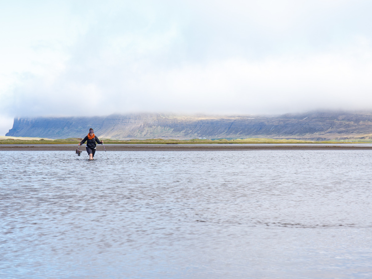
10:00am: River Crossing
Hornvik
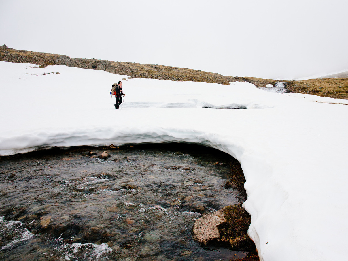
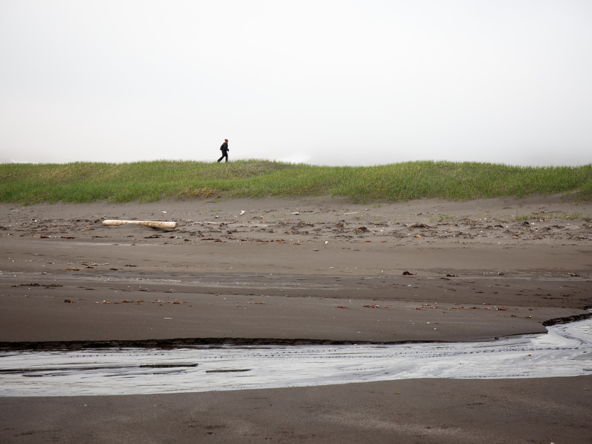
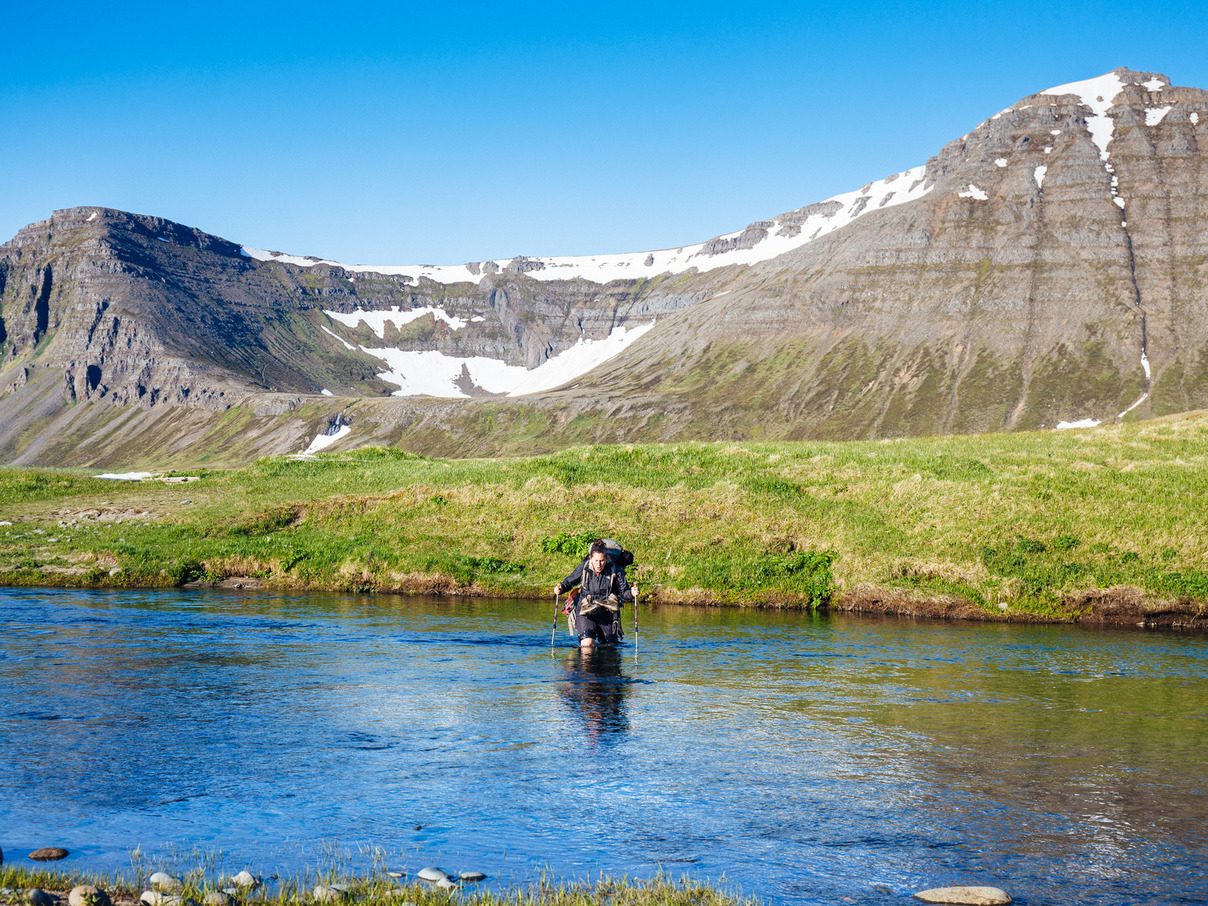
A long stroll across the sandy valley leads to our first Icelandic river crossing.
Rivers are the most dangerous aspect of Arctic hiking, both because they are very cold (snow or glacier melt) and because it can be hard to judge their depth. The best strategy is to find the widest section of the waterway. Fortunately, this river has a sandy bottom, and we cross barefooted so that we have dry boots on the other side.
Spending a minute knee-deep in 32.1-degree water is more effective than coffee, and it stretches the vocal cords too.
11:00am: Steinþors-standur
Hornvik
Steinþór was a respected man in Hornvik. The residents often turned to him to resolve disputes.
One day, he was walking in the valley and encountered a polar bear. Because he didn’t have his atgeir (a weapon that resembles a spear with an axe blade), he climbed this standur (a free-standing rock formation). The polar bear circled the base of the rock, waiting for its chance.
His wife saw what was happening, fetched his atgeir from their home, and rushed to the standur. When she got close, the bear turned his attention to her. Steinþór rushed down to his wife, grabbed the atgeir, and slew the bear just as it reached them.
– As told to me by the park ranger. “It has kind of a Hollywood ending,” he added, “and polar bears rarely make it down here. We had them in 1963, 1972, and 2011.”

3:00pm Hornbjarg
Hornbjarg
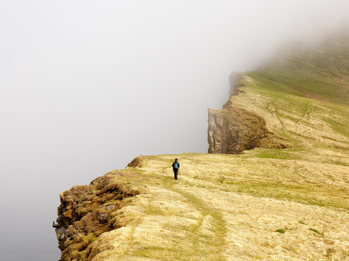
To paraphrase our Norwegian friend, “bjarg” means “cliff”, and you already know what a horn is. Hornbjarg is at the very northern end of the Horn peninsula, and the top destination for most Hornstrandir hikers. A high, hanging glacial valley has sharp cliff edges that stand hundreds of meters above the sea. The cliffs are populated by thousands of sea birds.
At the top of Hornbjarg, we indulge in a tundra nap while looking out over Hornvik. By the time we begin stirring again a couple of hours later, fog is rolling in over the peninsula. We gather our things and make for Miðfell, a low peak in the center of the peninsula.
4:00pm: Miðfell
Hornbjarg
Miðfell is a high ridge between two glacial valleys on the Horn peninsula. In person, it’s more like two cliffs glued together, with a narrow walkway on top. And each cliff is STEEP.
With the foggy weather, we don’t get to enjoy views from the top, but the bird cliffs pick up in intensity on the other side. Unseen thousands of birds squawk down below. The occasional kittiwake pops up above the cliff rim, cackles loudly, and disappears again below. It feels like they’re playing pranks on us.
10:00pm: Back to Camp; Ranger Talk
Hornvik
With another river crossing and a long walk across the dunes, we’re back in camp.
As we walk up, the park ranger is waiting for us outside his hut. He already knows that we’re from Tennessee (word gets around camp) and asks about our itinerary. Turns out he went over the pass from Hlöðuvik just the day before, and echoed the Swiss man’s advice on making it through.
We end up talking for 2 hours about the nature reserve and the arctic foxes that it was created to protect, the legal aspects of protected land in Iceland, and the history of the area. His grandfather was born in a house on the Horn, just across the bay. He’s working on a management proposal for dealing with the increased tourism to the reserve. For most of the year, he’s the only ranger.
I wish I had taken his portrait. He was as much a part of Hornstrandir as the foxes, the fjords, and the sea.
23 June 2015
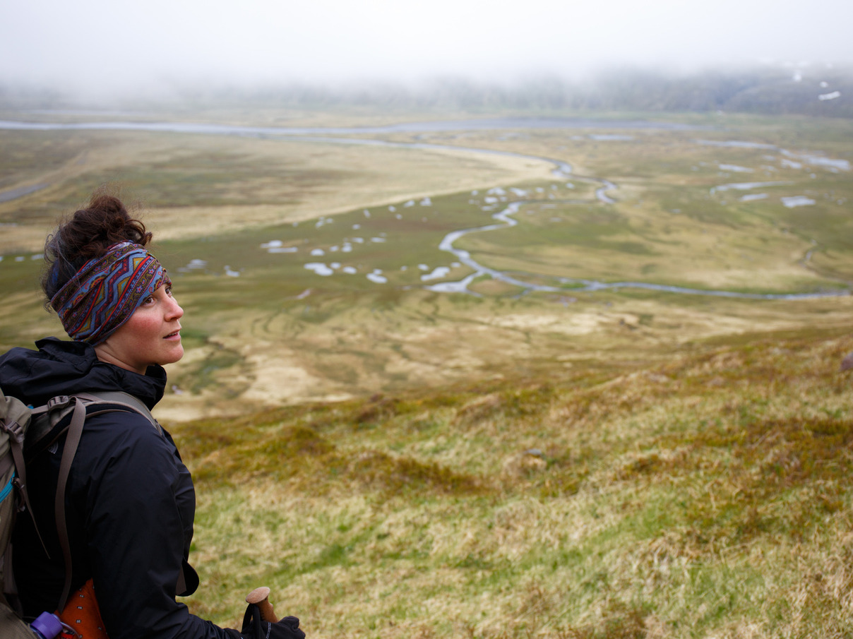
9:00am: The Trail to Hlöðuvík
Hornvik has a magical feel to it. The valley is several miles wide, and when the sky is clear you’re surrounded by pristine mountains on three sides. When it’s grey, the green of the tundra dominates, enormous waterfalls loom in the distance, and flocks of thousands of seagulls swirl low over the lakes every few minutes.
Today we set out for Hlöðuvík, having talked to enough people to have some confidence that it was passable. The first section was a long, steady uphill into the neighboring valley, and topped out at Atlaskarð, an easy mountain pass.
It’s named for Atla, an outlaw who was tracked down to this spot, murdered, and buried in the pass. A large pile of stones marks the spot, and it’s customary for each passing traveler to leave three stones for Atla.
We take a short rest, leave our share of stones, and move out across the high valley to the much-worried-about pass of Skálarkambur.
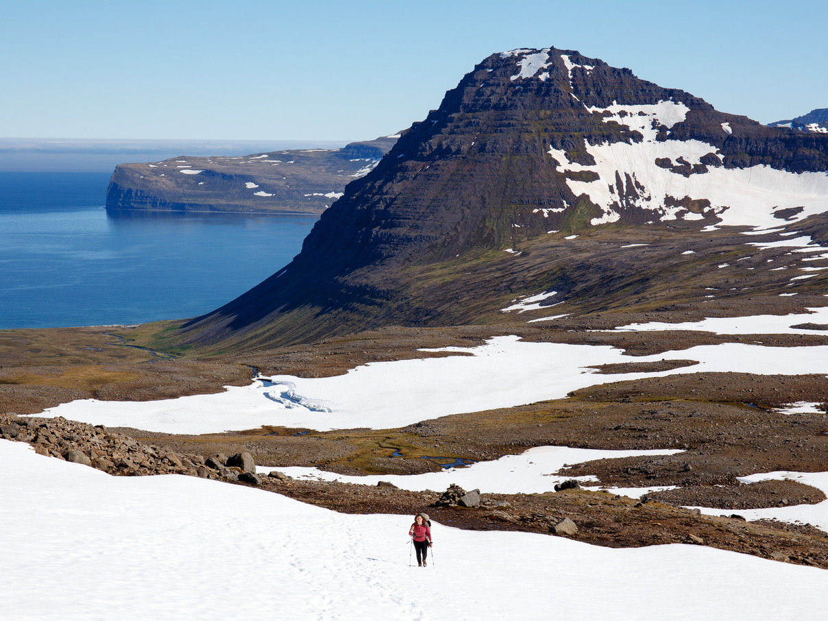
12:00pm: Skálarkambur
Skálarkambur Pass
We’ve been dreading this moment for days. If this pass is too difficult, we’ll have to make 3 other passes to get around it, and probably change our itinerary altogether in order to make it to our boat pickup on time.
We inch up to the top of the rocky ridge at the top of the pass, craning our necks for a clear view. Then we pause, turn to each other, and just begin laughing.
We can’t believe that we had gotten so worked up about this.
From a rocky ridge at the top, we see a short, high path leading to a 5-meter snowfield crossing, ending in the main path leading downhill.
Yeah, it’s steep. Yeah, it’s gravelly in some places. Yeah, if you slip and fall, you might just keep going. But it’s manageable, and we’ve been through worse. The anxiety earlier in the season must have come from a steep, icy showpack, which would be scary indeed. Several days of clear, sunny weather turned that ice to slush and made the crossing relatively easy.
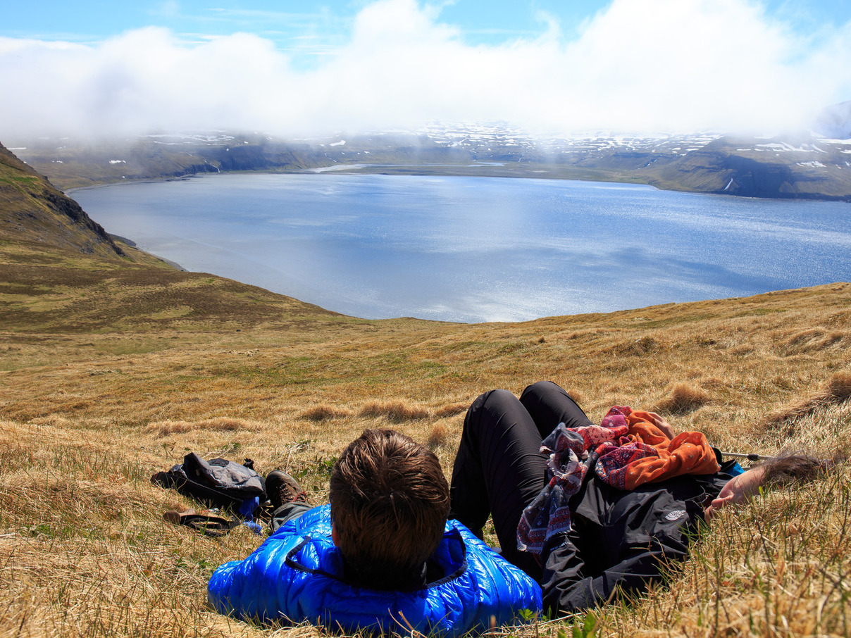
After taking stock, we breathe sighs of relief and take a very long break while enjoying the incredible view.
2:00pm Ludvig & Family at Búðir
Búðir
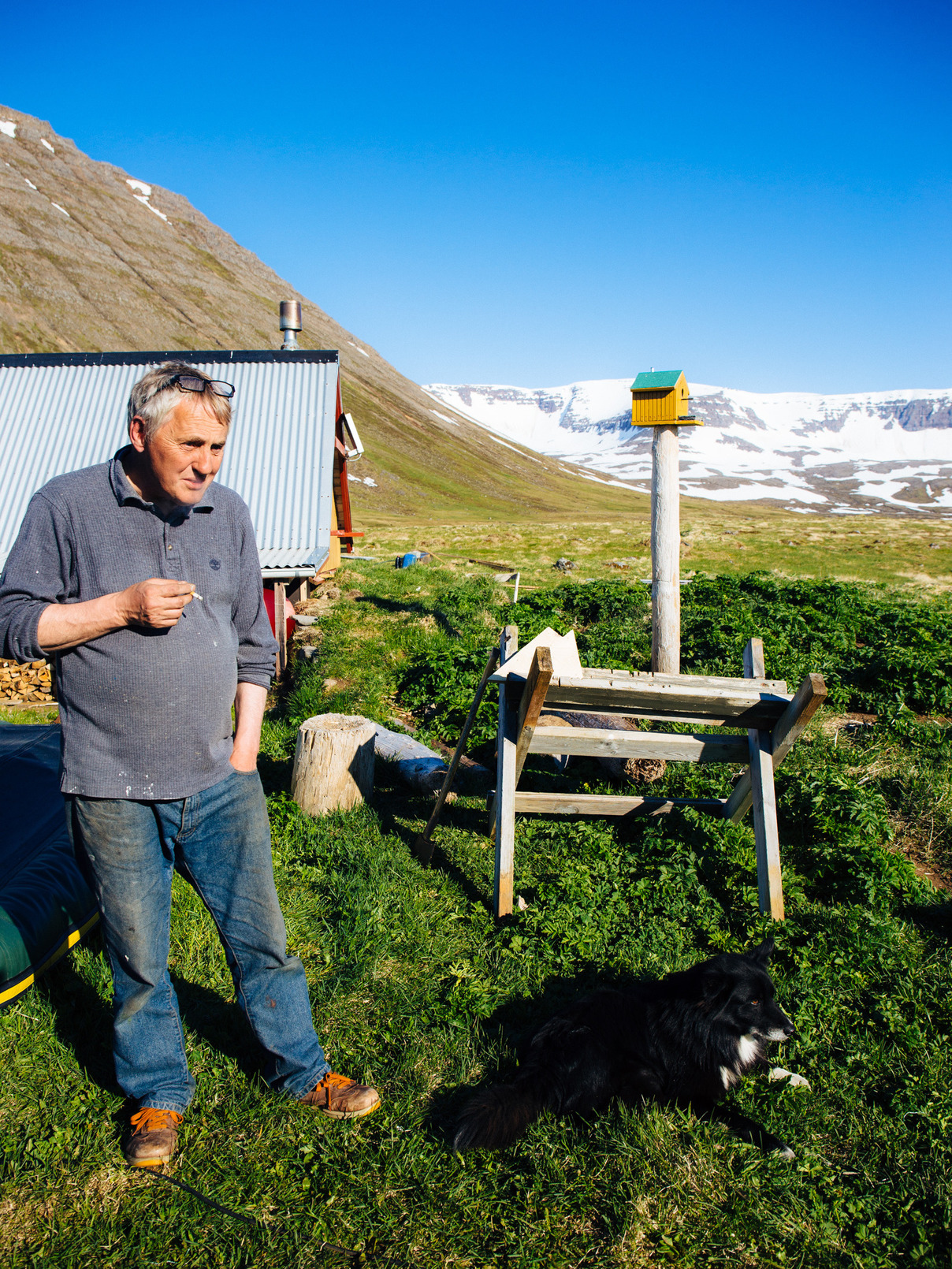
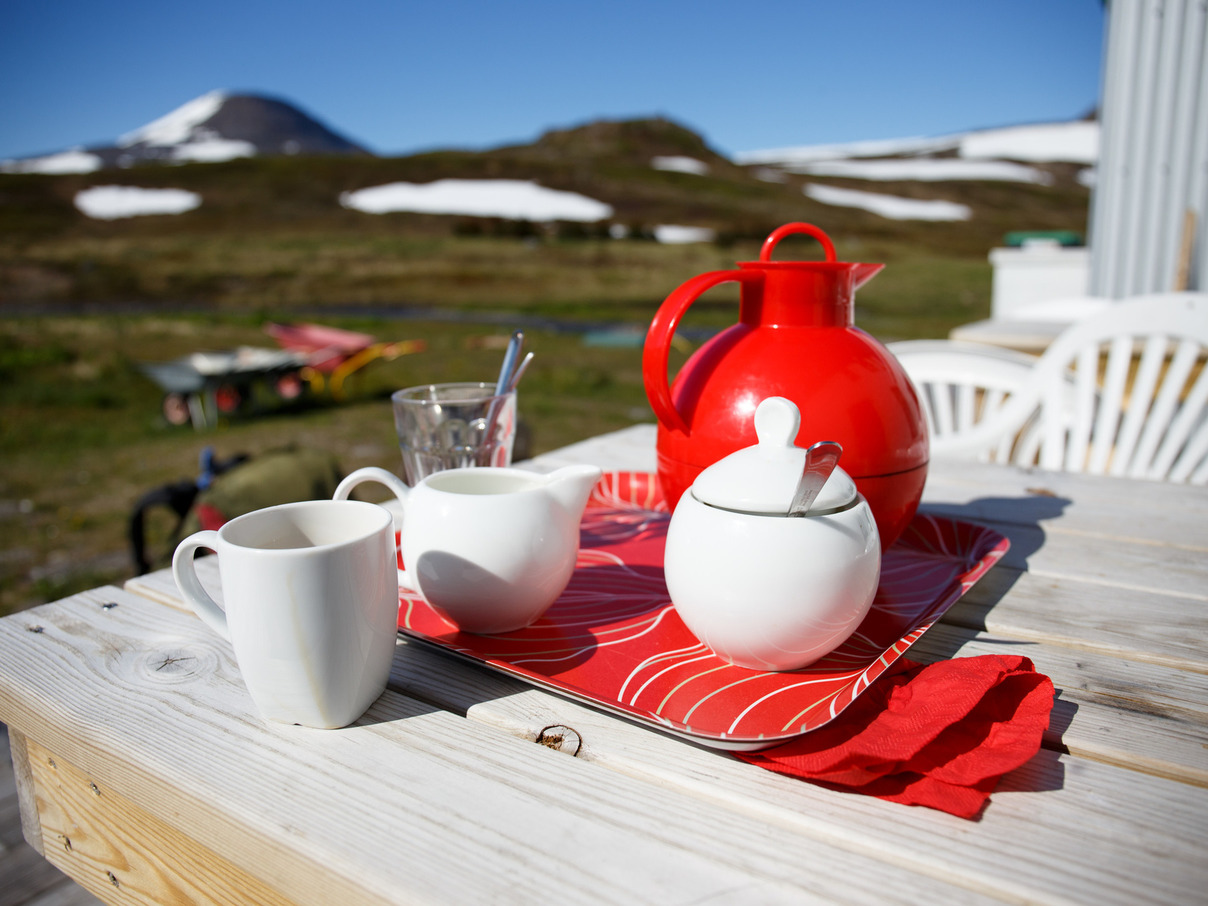
“Why are you even out here?” Ludwig asks. We’re sitting comfortably on wooden chairs, inside a house, sharing coffee and cookies with a couple of Icelanders we had just met.
“It’s beautiful, and there’s so few people here,” we reply. But they can’t wrap their heads around why someone would travel across the world to visit a place that their family abandoned decades ago for its remoteness and hostility.
The land in the Hornstrandir Nature Reserve is still owned privately, and houses can still be found. Very few people live here year-round, but many families use them as vacation homes. Ludwig and his brothers are here repairing their family’s house at Búðir, which they had done at the start of each summer for decades.
“The sun is always out,” he says. “We sleep when we’re tired, eat when we’re hungry, and work when we can.” He makes the annual repairs sound like a family vacation tradition.
They are very proud of their work. He points out the new ceiling joists that allowed them to remove the old supporting columns. “You can dance in here!” he declares, spreading his arms wide.
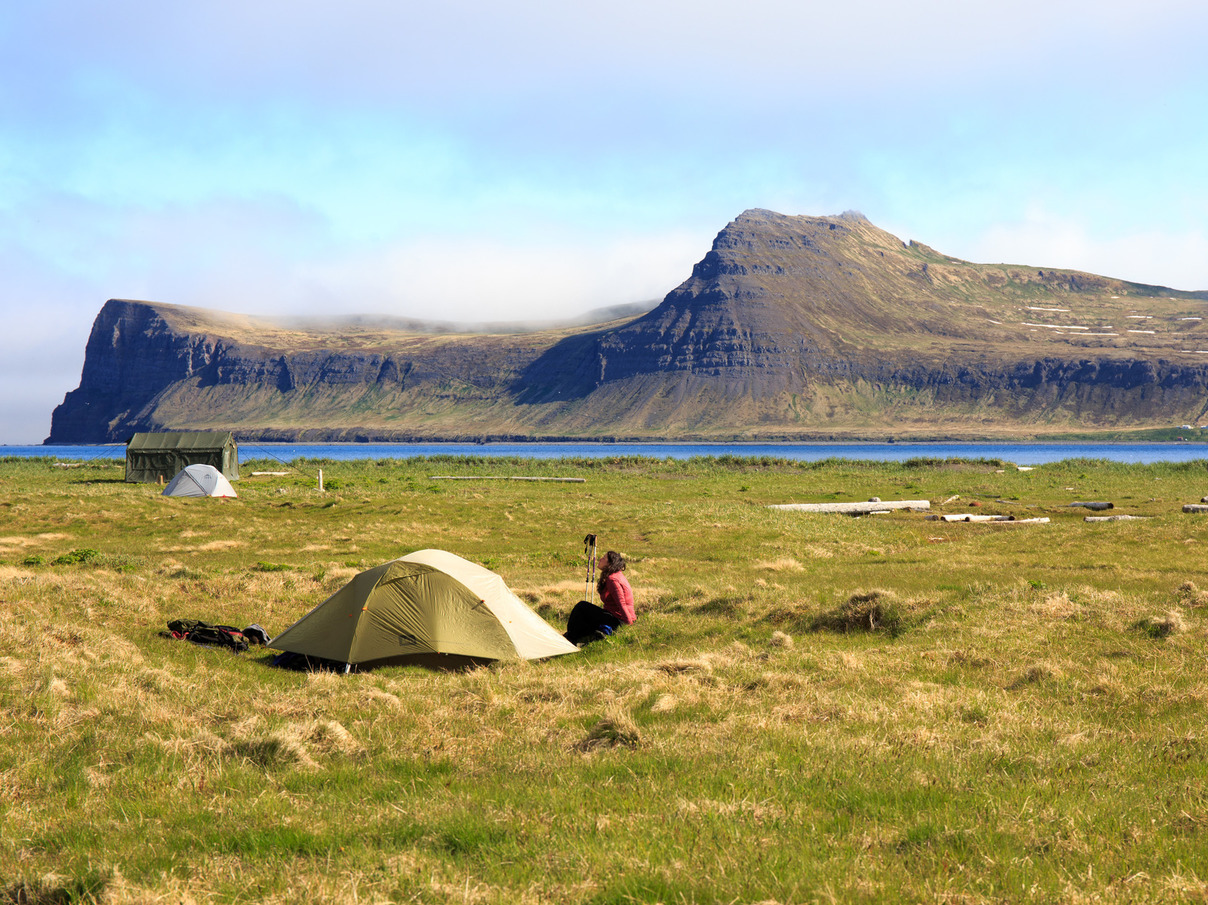
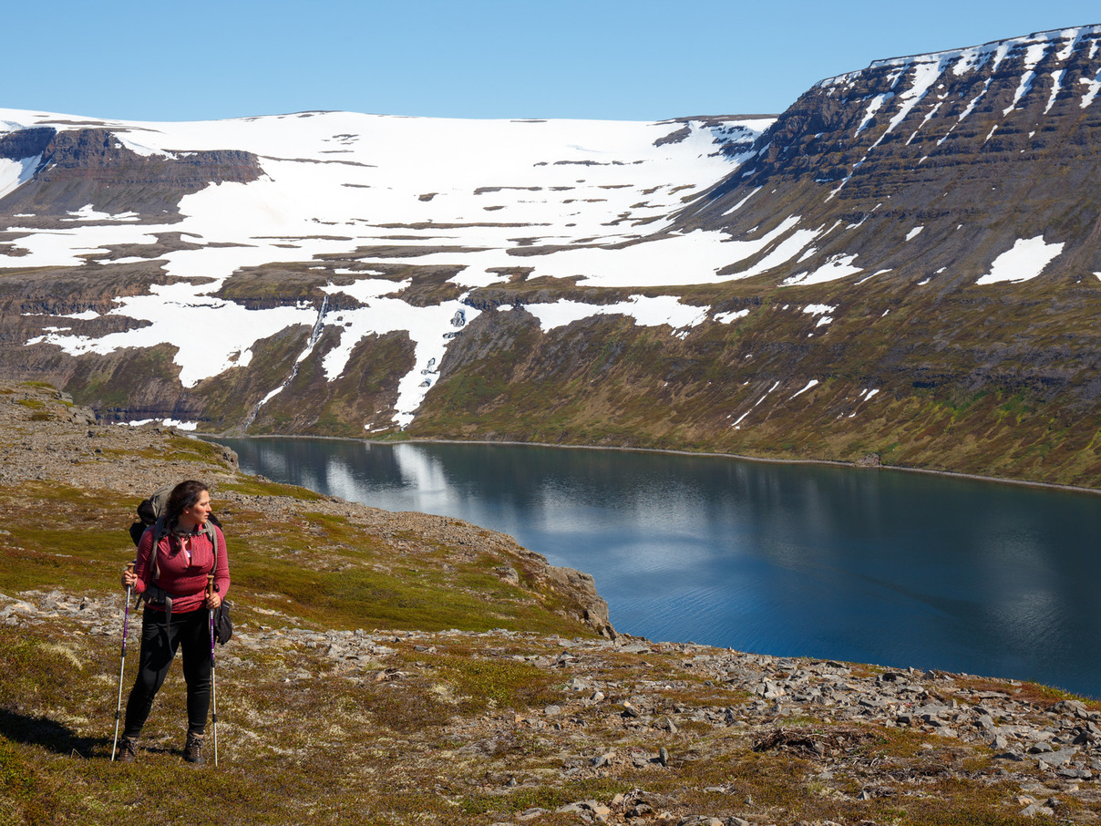
10:00pm Crossing and Camp
Hlöðuvík
Just one more crossing between us and camp. It’s a deep one, but it’s over quickly.
Hælvik is a crescent-shaped bay, consisting of 4 glacial valleys arranged in a semi-circle. Its open end is almost due north, and at night the sun simply glides down above the mountains on the west side, skims across the top of the bay, and rises again as it reaches the eastern mountains.
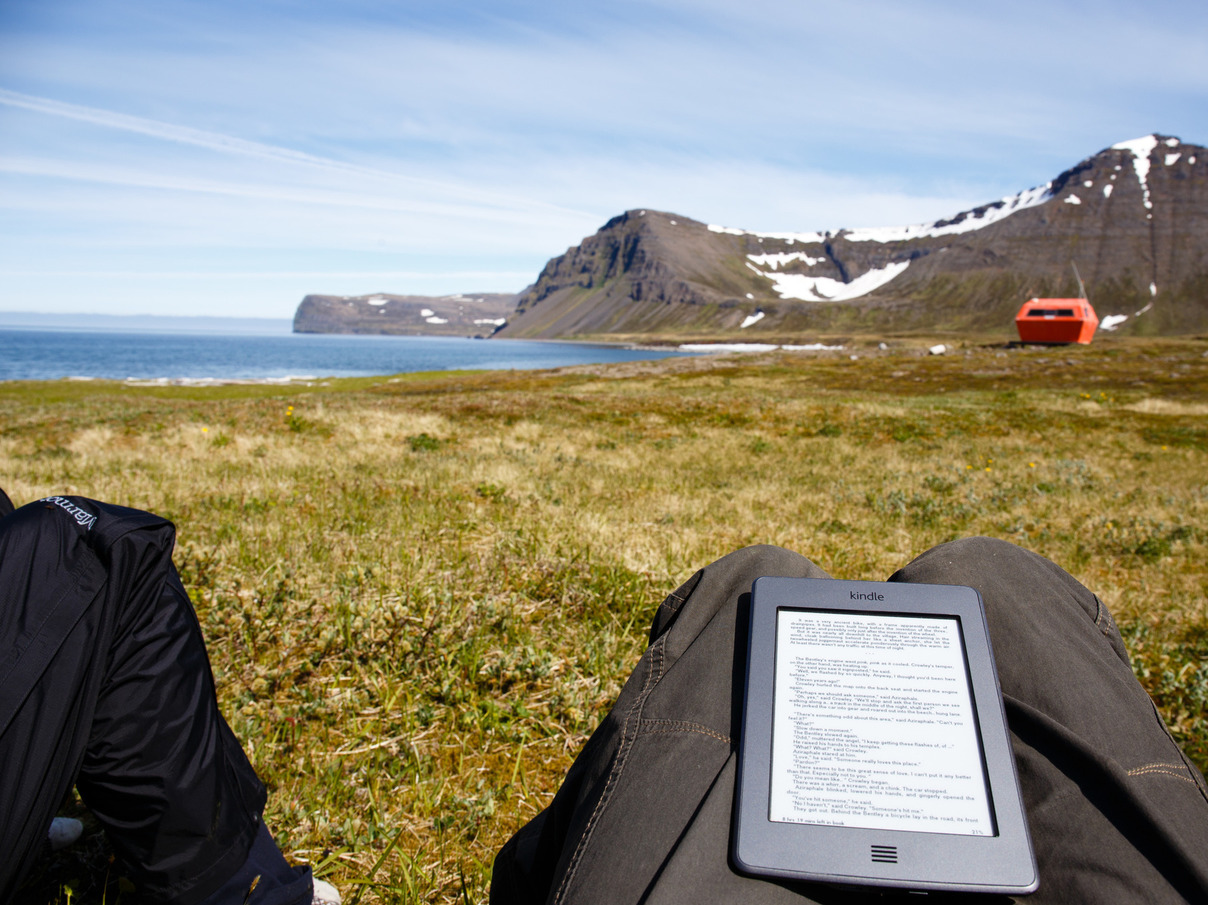
24 June 2015: Staying Put
Hlöðuvík
Backpacking sometimes turns into an obligation, a need to travel on to the next site because it’s on the route you selected.
After 2 days in the gloomy (but beautiful) Hornvík to the east, we decide to stay put and enjoy our spot in Hlöðuvík for a day. We eat when we’re hungry, sleep when we’re tired, and read books while we’re awake.
We haven’t lost sight of the sun for well over 30 hours. Not to clouds, sunsets, or landscape obstructions.
Good thing we packed sunscreen.
25 June 2015
2:30pm Bound for Heysteyri
Kjaransvíkurskarð
One last pass to tackle. This time we’re going to Hesteyri, where we’ll have our boat pickup tomorrow. With the extra day we spent in Hlöðuvík enjoying the nice weather, we have to skip seeing the western end of the peninsula. It gives us an excuse to return.
These passes are starting to get routine, but the cloudless skies bring an absolutely unrelenting sun, and keeping your temperature regulated can be difficult. When the air is calm, it feels quite warm, but the breezes are strong and, since they blow over snowfields, can be chilly.
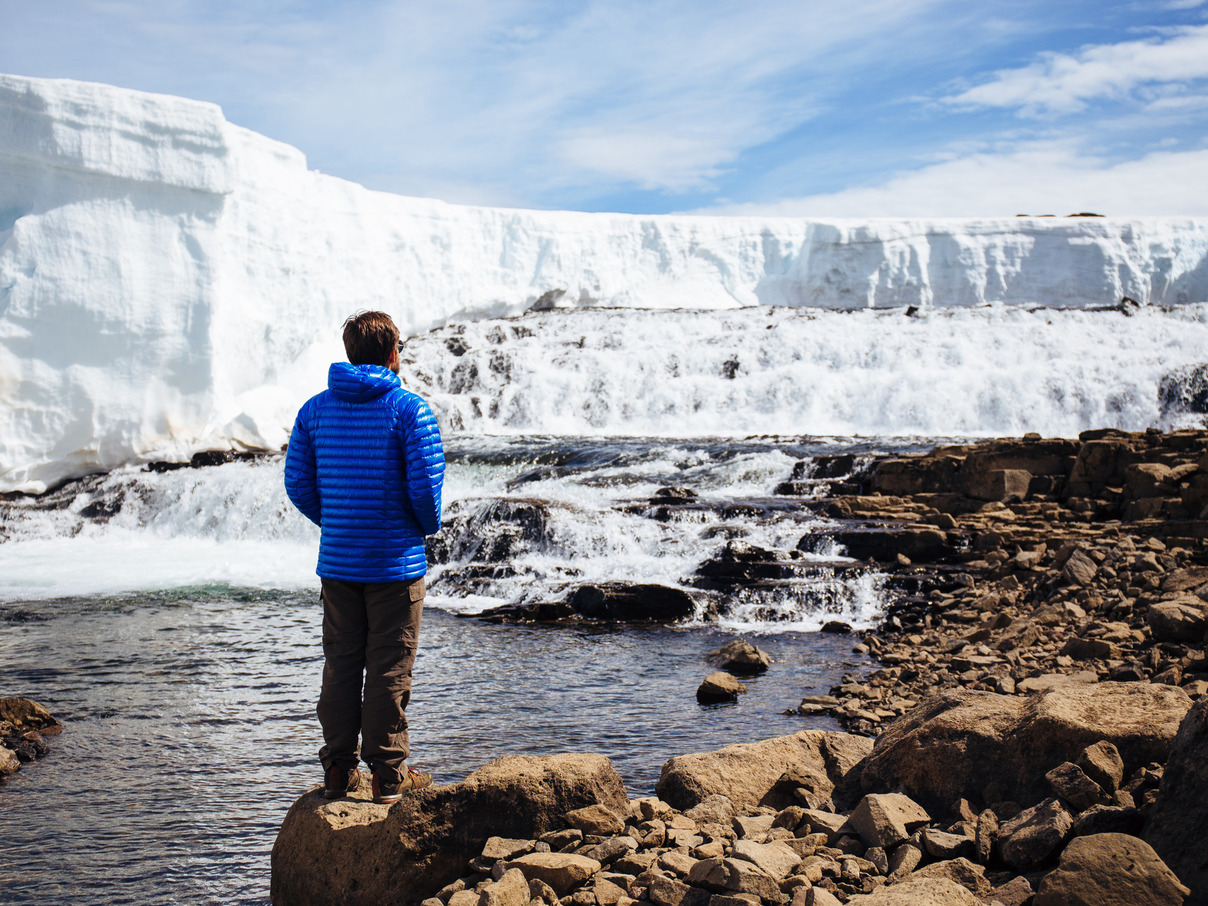
On the final leg of the descent to Hesteyri, we encounter an enormous snowfield. It stretches down the hill, and increases in steepness, such that we can’t even see the middle section. It takes about 30 minutes of slow effort to safely descend, but with the soft marsh at the bottom, we wonder if sliding down would really be so bad.
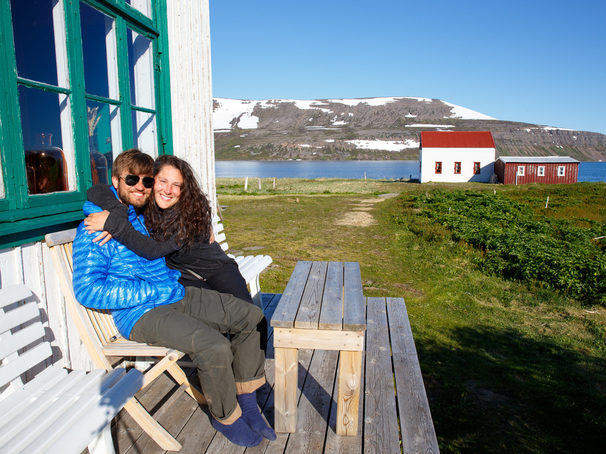
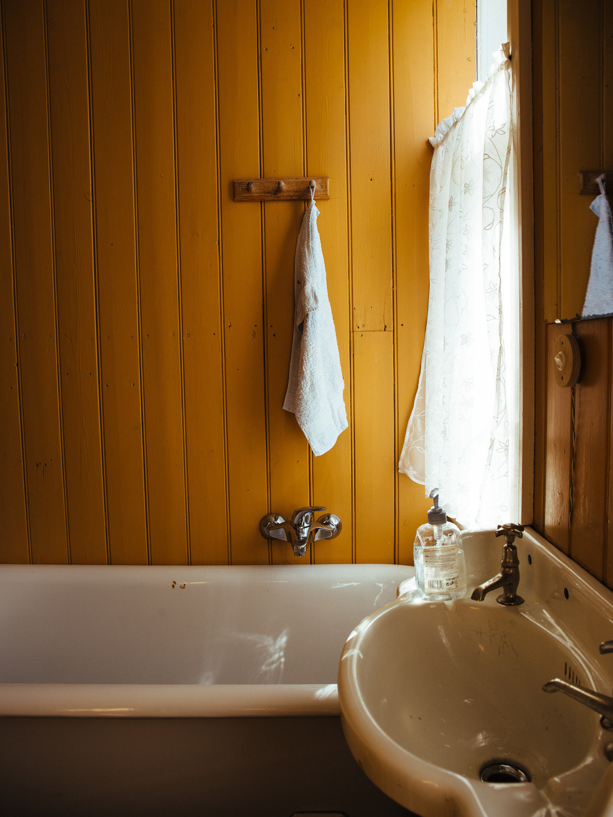
6:00pm: The Old Doctor’s House
Heysteyri
When the house was first built in 1901, people traveled from all over Hornstrandir just to come and look at the bathtub. It was the first one on the peninsula.
These days, Hrólfur runs a guest house and cafe here. We booked accommodation with him for our last night, figuring we could use the shower and home-cooked meal. He greets us warmly and whips up some coffee, then we spend the afternoon talking about the history of the area, our home countries, and the surge in Icelandic tourism. Ísafjörður, the town across the bay and the biggest in the westfjords, is receiving a 5,000-passenger cruise ship tomorrow, and everybody seems uncertain about how it will go. Ísafjörður itself has a population of only 3,000. They’re receiving 63 cruise ships this summer, although most are much smaller.
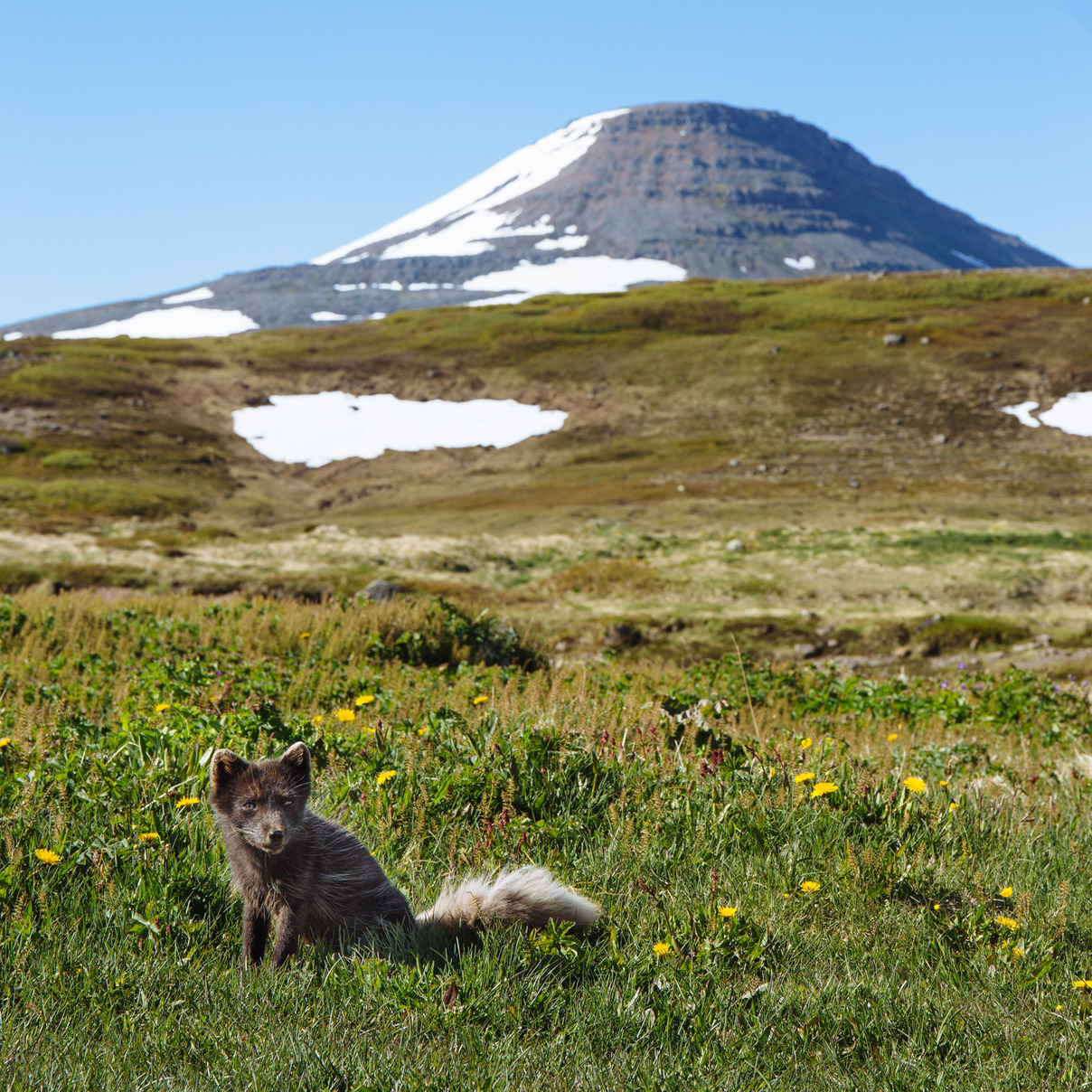
Before long, a curious Arctic fox trots up to the porch, politely posing for photos while waiting for food scraps.
Dinner is lamb stew, and we have two helpings. Three helpings of bread. And don’t skip dessert. A chilly after-dinner walk to the old whaling station gets us ready for bed, and it doesn’t take long at all to get to sleep.
26 June 2015
8:00am: Morning in Hesteyri
Heysteyri
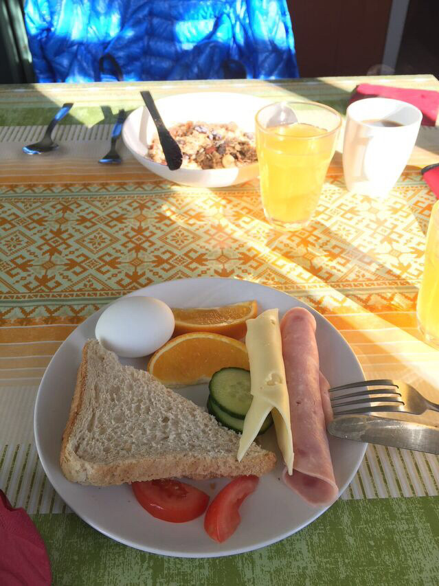
Showers and breakfast are incredible luxuries. Bread does not last long in our presence.
9:00am: The Ferry Back to Ísafjörður
Heysteyri
It doesn’t take long to become attached to a place. The ruggedness and beauty of Hornstrandir are calming and invigorating in equal parts, and we’re reluctant to hop onto the ferry back to Ísafjörður and civilization.
For a week, Hornstrandir felt like a small community. You talk to everyone you encounter, sharing information about the trails and discussing other places you’ve traveled. The energy of summer and adventure is in the air.
On our ferry home we meet a group of French backpackers who detoured around the pass at Skálarkambur. Their detour included a timed crossing under a seaside cliff, which involved finding and following a submerged sandbar and wading in seawater up to their hips for over 5 minutes. We were glad to have better information on the pass from our Swiss friend and that we trusted ourselves enough to give it a shot.
As we approach Ísafjörður, the giant cruise ship looms over the city, and a small navy of glass-enclosed boats is shuttling passengers to the harbor. Mobs of people swarm the harbor and downtown area.
Solitude must frequently be sought, and sometimes it must be earned with one’s feet.
8:00pm: Recovery
Ísafjörður
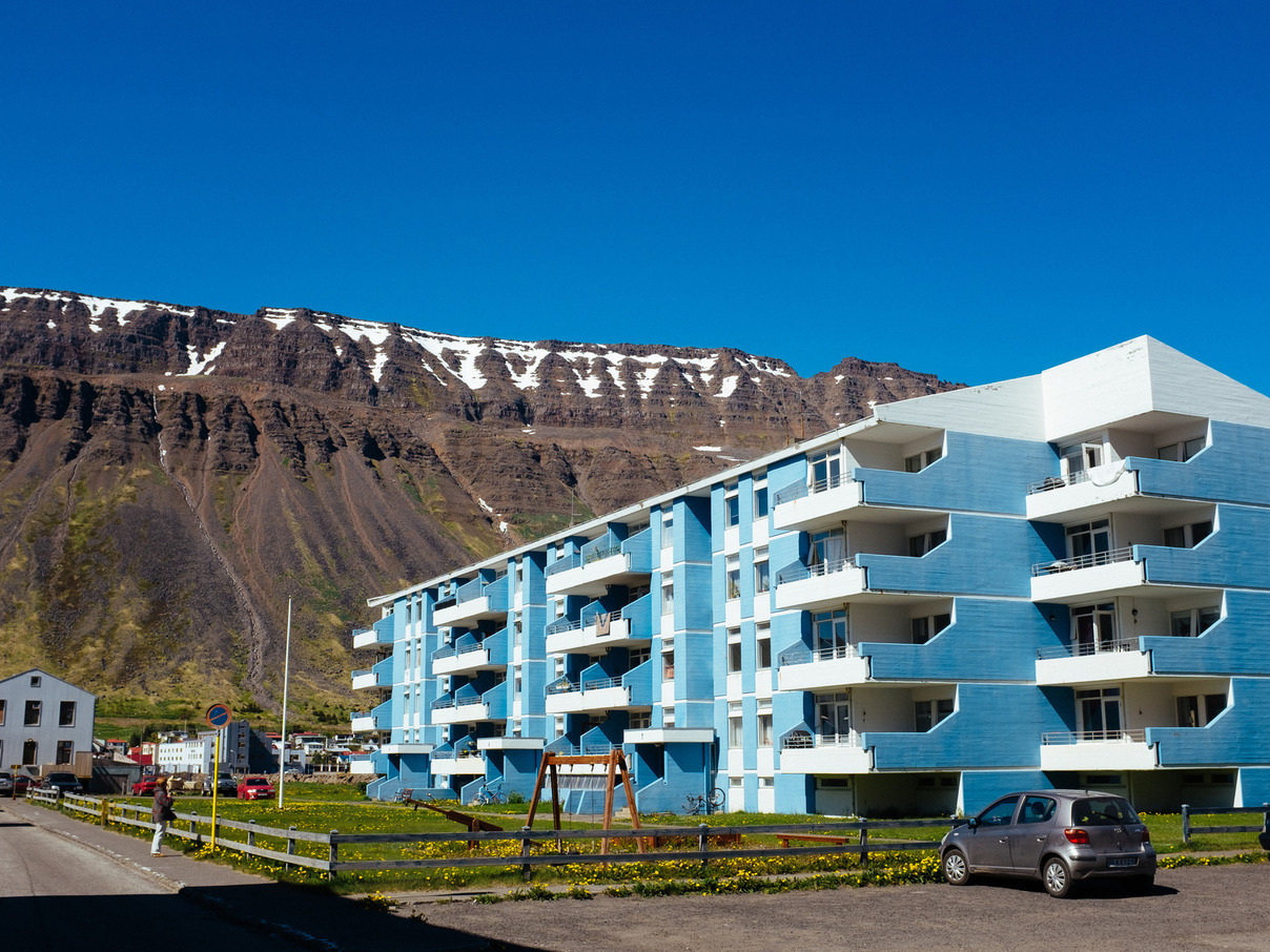
Ísafjörður is a beautiful village, and the largest in the Westfjords. It regularly hosts cruise ships and also appears to be a popular destination for motorcycle riders, as Harleys and Goldwings cruise by every now and then.
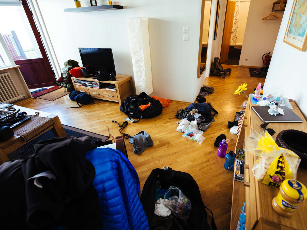
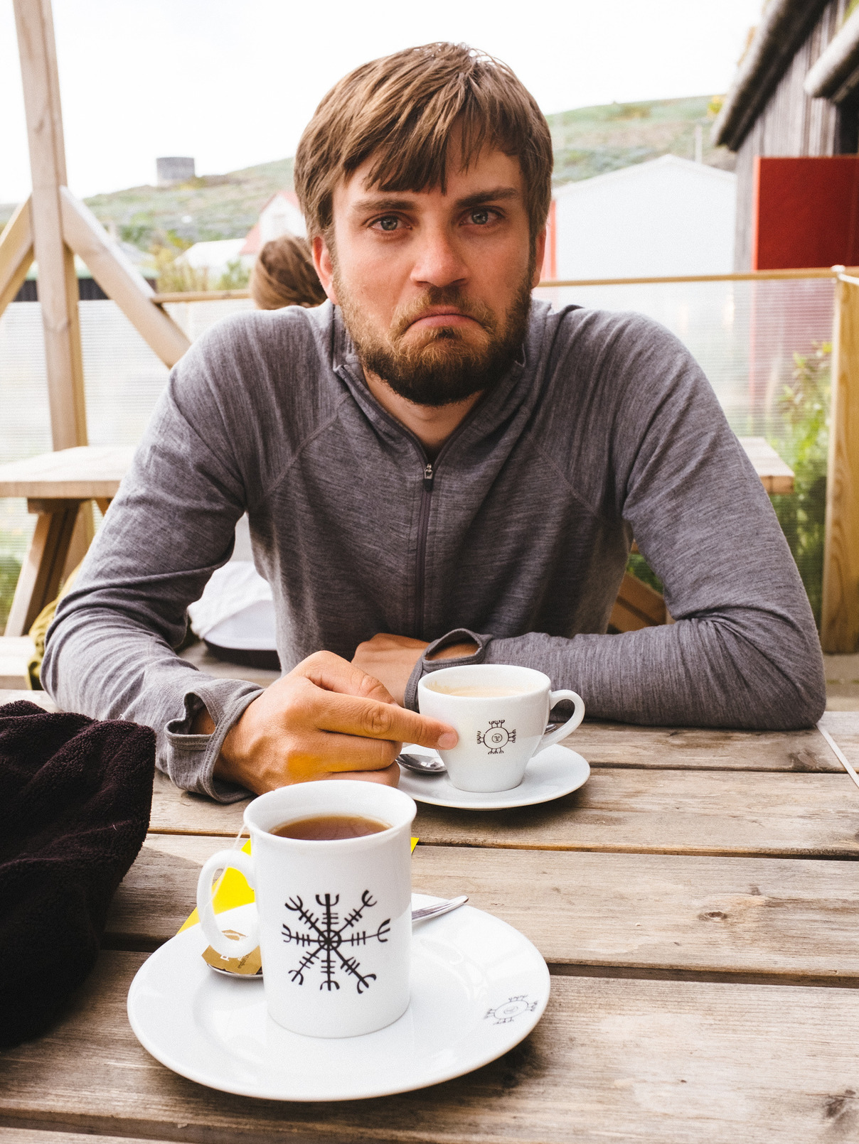
This afternoon is about recovery from our week backpacking in Hornstrandir. Minutes after we check into our apartment, the packs open up and gear is strewn everywhere. Once the drying racks fill up with clean laundry, long and luxurious showers are the next point of business. The evening is spent at coffee shops and restaurants, getting back in touch with the world and filling our bellies with local seafood. Bedtime comes early.
Tomorrow, we’ll resume our road trip.
27 June 2015
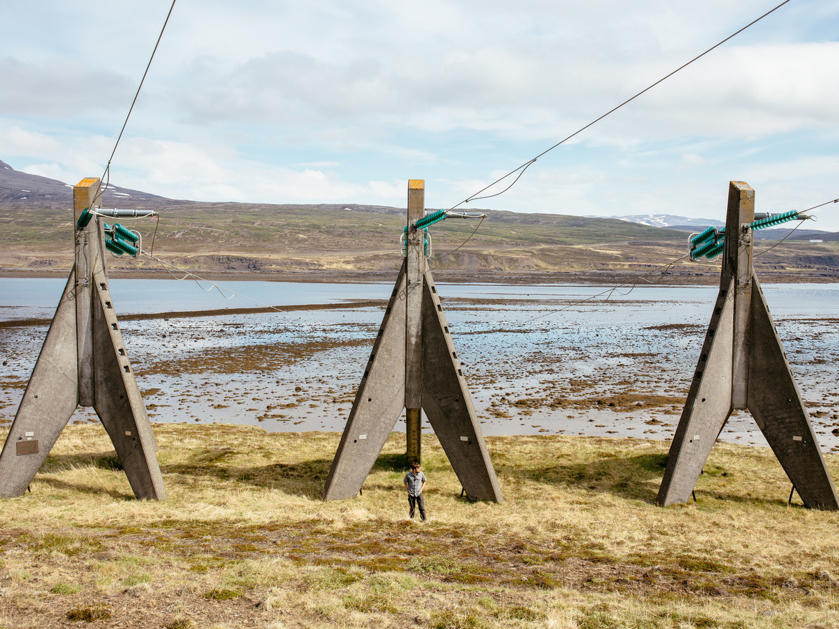
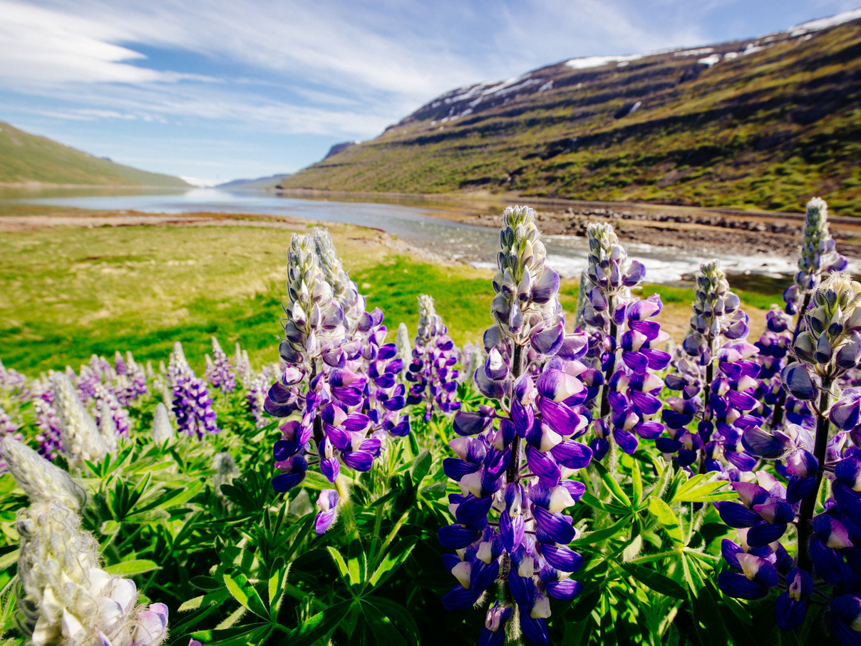
12:00pm: Fjord Roads
Roads of the Westfjords
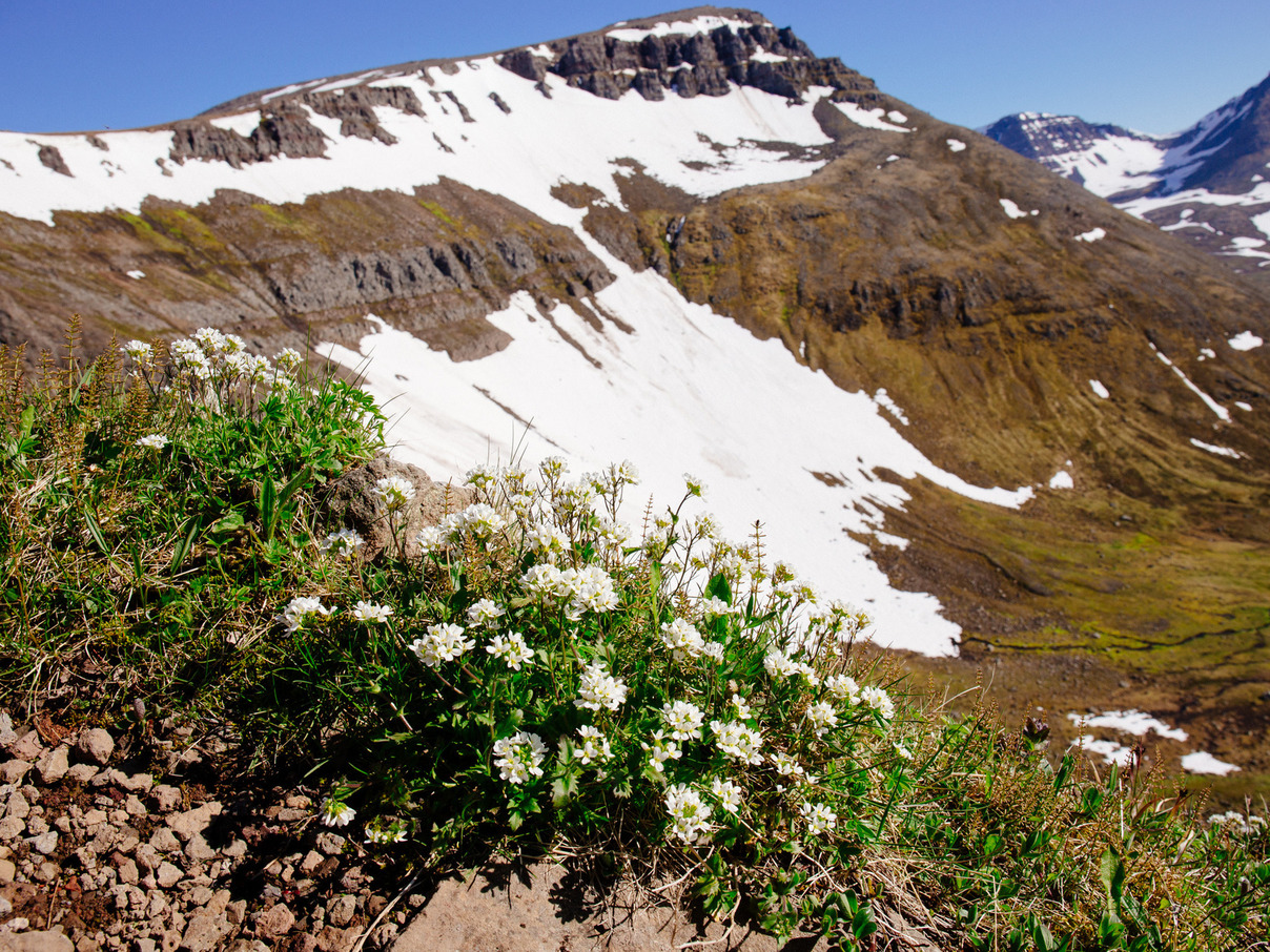
The roads of the Westfjords continue their assault on sanity. The highland areas still have plenty of snow, which generates icy, raging rivers as it melts. Down in the fjords, wildflowers are in full bloom.
2:00pm: Museum of Icelandic Sorcery and Witchcraft
Hólmavík
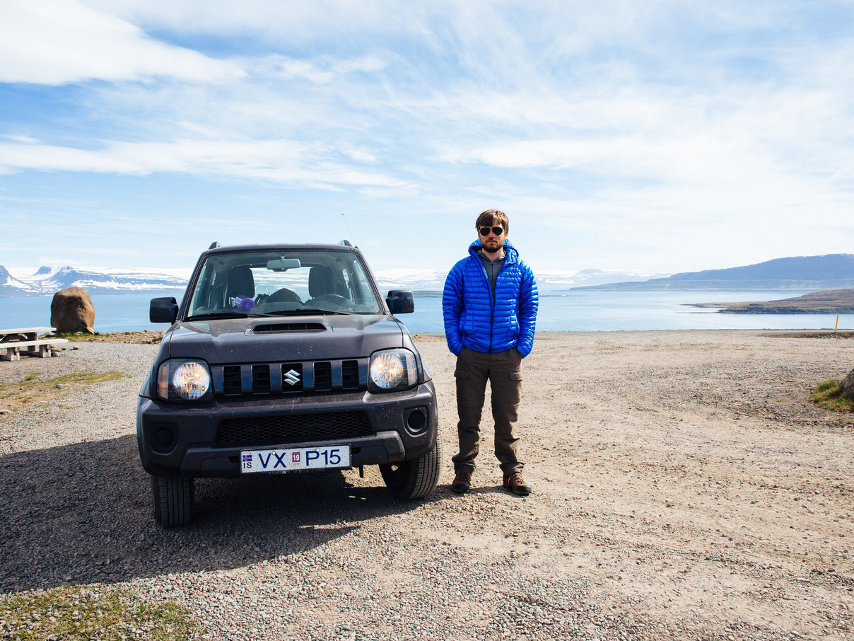
We got tourist-trapped HARD in Hólmavík.
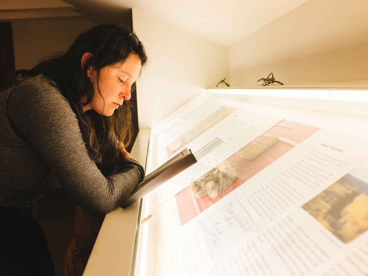
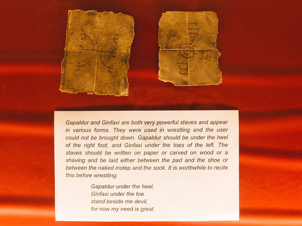
We spent the morning racing our Suzuki Jimny across the roads of the eastern Westfjords to get to the Museum of Icelandic Sorcery and Witchcraft before closing time. It’s the primary cultural attraction in this part of the country, and considering the rich mythology and harsh climate of Iceland, sounds like a fascinating topic.
In reality, there are almost no genuine artifacts in the museum, and most of the information is in the self-guided tour booklet. Most of the physical items are reproductions or artistic imaginings. Among the “exhibits” are:
“Invisible Boy”: A mostly empty glass case with a rune-inscribed rock “held” at roughly hand-height by cables.
“Raising the Dead”: A pile of broken concrete on the floor with a mannequin crawling out.
The most interesting part is the genealogy room, where the bloodlines of accusers and accused are traced. Both sides correlate strongly with family lines, revealing an undercurrent of political and personal feuding that carries on for centuries.
Fortunately, they had a decent cafe.
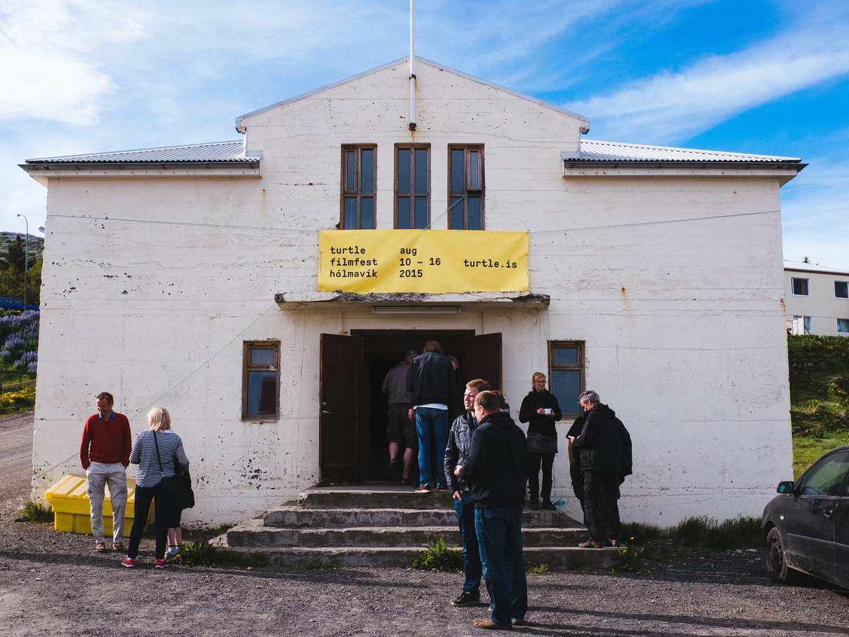
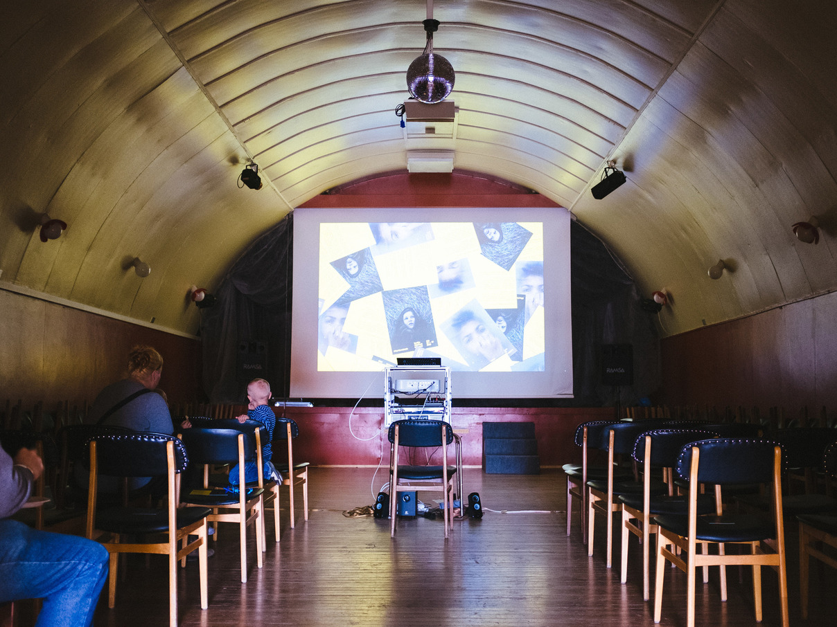
5:00pm: Turtle Filmfest
Hólmavík
“Our projection rig is portable, so we can show the films anywhere,” explains one of the festival organizers. “We can show them in the church, in historic buildings. We are even thinking of showing them on the fishing boats as they sail to Drangsnes and back!”
An unexpected discovery: A German group is organizing a film festival in the tiny town of Hólmavík in August, and today they’re screening films as a preview.
“We want to learn what kinds of films people here like, what kinds of things they are interested in,” explains one of the organizers. She radiates energy and enthusiasm for the project. “It’s a way to start a deeper conversation with people by engaging them in a different way.”
Today they’re screening three short films in Hólmavík’s auditorium, a beautiful old building with a windowless, barrel-vaulted interior. It’s a cultural event on the frontier and carries a risky excitement: will it work?
Complimentary potato chips are served with coffee.
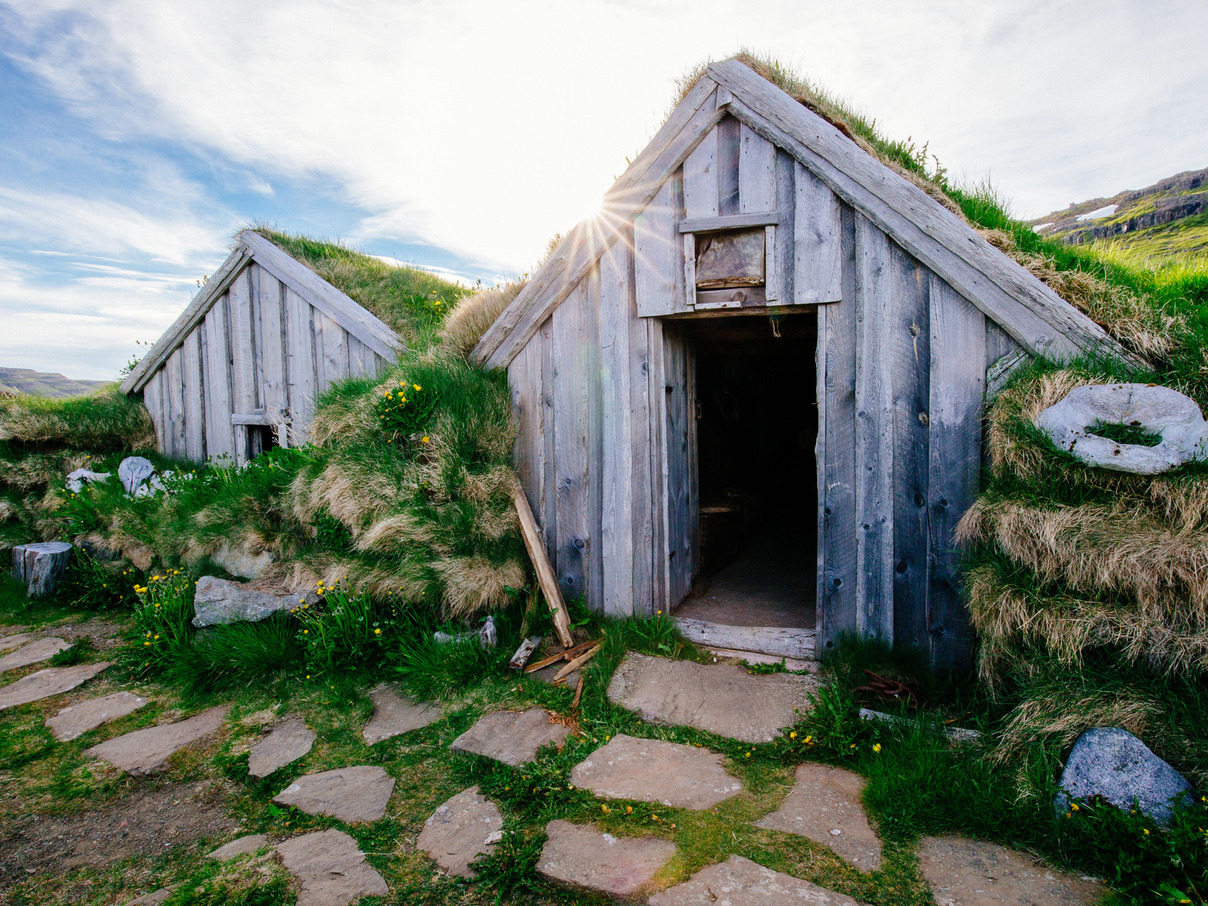
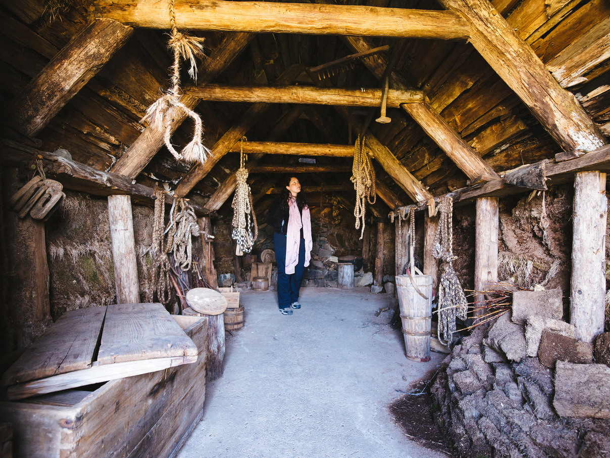
7:00pm: The Sorcerer’s Cottage
We got double tourist-trapped.
This turf-roofed cottage is a replica, built by the organizers of the sorcery museum to illustrate what life was like for Icelanders during the age of witchcraft, roughly in the middle of the last millennium. Authentic construction techniques and materials were used, and elements such as doorways and support beams carry appropriate magical runes. A mannequin lies in a hay-stuffed bed, reading a grimoire.
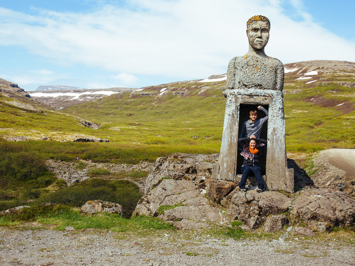
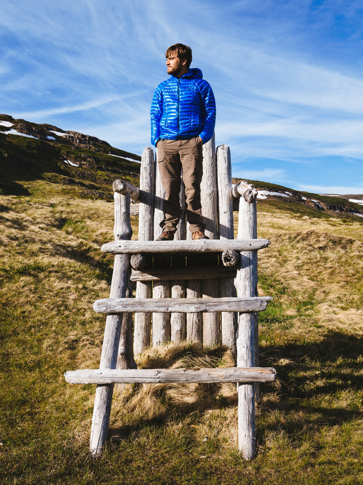
The grounds also feature a giant’s chair.
The hotel next door (the only commercial structure for 20 kilometers) sells books and souvenirs.
8:30pm: Drangsnes Campground
Drangsnes
“It is like hitting oil for us,” explains the campground host. “When the water pipe to the factory burst, we got for permission to drill for fresh water. When we drilled, we found hot water instead. Everybody in the city has hot water in their homes.”
They were so thrilled with their find that they built a set of hot tubs along the sea wall. One hot, one tepid, and one in between. Locals and visitors migrate between them, warming up and cooling down as they like. We join in as well.
The uninhabited island of Grimsey lies offshore and catches the red rays of the descending sun.
Drangsnes is quite a nice surprise. Maybe getting tourist-trapped up here wasn’t so bad.